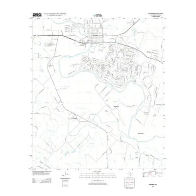
2013 Map of Bastrop
USGS Topo · Published 2013About this map
The Colorado River defines the geography of this central Texas region, winding through a landscape of alluvial bottoms and prairie land. Near the river's path, the Colorado River HWY-71 W Bridge serves as a modern landmark, while the surrounding terrain includes notable elevations such as the Red Bluffs and wide expanses like David Bottom and Crafts Prairie. In the residential and rural areas south of the main town, the presence of the Poyston School and both W Clearview Cemetery and E Clearview Cemetery highlight established community roots.
Find a feature on this map
222 named features on this map. Tap any name to fly to it.
Don’t see what you’re looking for? This feature index may not catch every label — zoom into the map to look around manually.
Map Details
Editions of this 2013 Bastrop Map
This is the sole edition of this map. No revisions or reprints were ever made.
Other maps of this area

1885 · Bastrop
USGS Topo · 1:125,000

1893 · Bastrop
USGS Topo · 1:125,000

1901 · Flatonia
USGS Topo · 1:125,000

1904 · Bastrop
USGS Topo · 1:125,000

1948 · Smithville
USGS Topo · 1:62,500

1948 · Bastrop
USGS Topo · 1:62,500

1950 · Bastrop
USGS Topo · 1:62,500

1950 · Smithville
USGS Topo · 1:62,500

1953 · Seguin
USGS Topo · 1:250,000

1954 · Austin
USGS Topo · 1:250,000