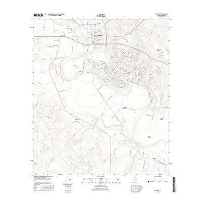
2016 Map of Bastrop
USGS Topo · Published 2016About this map
The Colorado River defines the geography of this central Texas landscape, winding past the historic settlement of Bastrop and the residential community of Tahitian Village. The map reveals a transition from the structured street grid of the town center—including Chestnut St and Austin St—to the expansive rural reaches of Hills Prairie and David Bottom. Local history is visible in the scattered ranch lands and small communities such as Clearview and Upton. Notable water features and landmarks like Bastrop State Park Lake, Burleson Springs, and Duke Lake Number 2 indicate a region shaped by both its natural hydrology and intentional land management. The terrain is marked by distinctive local names like Pigeonroost Hollow and the Red Bluffs, which provide specific points of reference for genealogists and local historians tracing the development of the county outside the primary city limits.
Find a feature on this map
132 named features on this map. Tap any name to fly to it.
Don’t see what you’re looking for? This feature index may not catch every label — zoom into the map to look around manually.
Map Details
Editions of this 2016 Bastrop Map
This is the sole edition of this map. No revisions or reprints were ever made.
Other maps of this area

1885 · Bastrop
USGS Topo · 1:125,000

1893 · Bastrop
USGS Topo · 1:125,000

1901 · Flatonia
USGS Topo · 1:125,000

1904 · Bastrop
USGS Topo · 1:125,000

1948 · Smithville
USGS Topo · 1:62,500

1948 · Bastrop
USGS Topo · 1:62,500

1950 · Bastrop
USGS Topo · 1:62,500

1950 · Smithville
USGS Topo · 1:62,500

1953 · Seguin
USGS Topo · 1:250,000

1954 · Austin
USGS Topo · 1:250,000