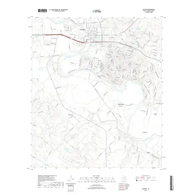
2019 Map of Bastrop
USGS Topo · Published 2019About this map
Bastrop serves as the focal point of this Central Texas landscape, where the Colorado River winds through the heart of the county. The map details the transition from the city's grid, including historic thoroughfares like Chestnut St and Austin St, to the surrounding rural prairies and river bottoms. The river is a defining geographic feature, spanned by the Colorado River Bridge and flanked by unique landforms like Red Bluffs and Pigeonroost Hollow. To the south and east, the map reveals a pattern of dispersed settlements such as Clearview, Hills Prairie, and Upton. The presence of Burleson Springs and various named water bodies, including Duke Lake Number 1 and Bastrop State Park Lake, highlights the importance of water resources to the local agriculture and ecology. This survey captures the modern road network, from established farm-to-market routes to the specialized street names within residential developments near the state park.
Find a feature on this map
130 named features on this map. Tap any name to fly to it.
Don’t see what you’re looking for? This feature index may not catch every label — zoom into the map to look around manually.
Map Details
Editions of this 2019 Bastrop Map
This is the sole edition of this map. No revisions or reprints were ever made.
Other maps of this area

1885 · Bastrop
USGS Topo · 1:125,000

1893 · Bastrop
USGS Topo · 1:125,000

1901 · Flatonia
USGS Topo · 1:125,000

1904 · Bastrop
USGS Topo · 1:125,000

1948 · Smithville
USGS Topo · 1:62,500

1948 · Bastrop
USGS Topo · 1:62,500

1950 · Bastrop
USGS Topo · 1:62,500

1950 · Smithville
USGS Topo · 1:62,500

1953 · Seguin
USGS Topo · 1:250,000

1954 · Austin
USGS Topo · 1:250,000