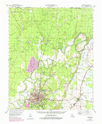
1956 Map of Bastrop
USGS Topo · Published 1979About this map
Bastrop serves as the focal point of this North Louisiana landscape, where the town's expansion is documented through photorevised updates following the original mid-century topography. The area is defined by the winding course of Bayou Bartholomew and the extensive marshy depressions of Bussy Brake and Handy Brake. The map reveals a transition from the industrial activity of the Gas and Oil Field near Beekman to the recreational development at Chemin-a-Haut State Park. Local life is anchored by a dense network of country institutions, including Cherry Ridge Sch and Washington Chapel. Transportation is dominated by the rail corridors of the Missouri Pacific and the Arkansas Louisiana and Missouri, which connect settlements like Mer Rouge and Galion (Gallion PO) to the regional timber and agricultural economy.
Find a feature on this map
104 named features on this map. Tap any name to fly to it.
Don’t see what you’re looking for? This feature index may not catch every label — zoom into the map to look around manually.
Map Details
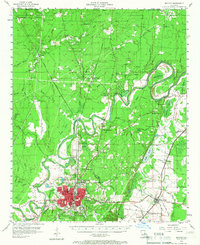
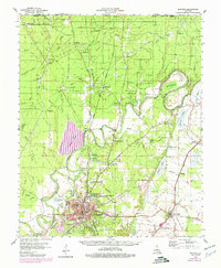
Editions of this 1956 Bastrop Map
4 editions found

Other maps of this area

1934 · Felsenthal
USGS Topo · 1:62,500

1935 · Collinston
USGS Topo · 1:62,500

1935 · Wilmot
USGS Topo · 1:62,500

1935 · Naff
USGS Topo · 1:62,500

1935 · Hurricane
USGS Topo · 1:62,500

1935 · Bonita
USGS Topo · 1:62,500

1935 · Drew
USGS Topo · 1:62,500

1935 · Haile
USGS Topo · 1:62,500

1937 · Felsenthal
USGS Topo · 1:62,500

1938 · Felsenthal
USGS Topo · 1:62,500