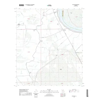
2018 Map of Batchelor
USGS Topo · Published 2018About this map
Pointe Coupee Parish and West Feliciana Parish meet at the Raccourci Old River, a massive oxbow lake that defines the eastern landscape of this area. The settlement pattern follows the higher ground along the natural levees of ancient waterways, where communities like Batchelor, Innis, and Quinton are linked by the Missouri Pacific RR. The map illustrates a complex network of bayous, including Bee Tree Bayou and Bayou Latenache, which drain the low-lying terrain surrounding the Morganza Floodway. Genealogists will find numerous local landmarks such as Saint Marks Cem, Mount Marias Cem, and the Lower Latenache Church, reflecting the scattered rural hamlets of this Mississippi River delta region.
Find a feature on this map
62 named features on this map. Tap any name to fly to it.
Don’t see what you’re looking for? This feature index may not catch every label — zoom into the map to look around manually.
Map Details
Editions of this 2018 Batchelor Map
This is the sole edition of this map. No revisions or reprints were ever made.
Other maps of this area

1939 · Fordoche
USGS Topo · 1:62,500

1941 · Batchelor
USGS Topo · 1:62,500

1954 · Baton Rouge
USGS Topo · 1:250,000

1955 · Fordoche
USGS Topo · 1:62,500

1955 · Batchelor
USGS Topo · 1:62,500

1955 · Odenburg
USGS Topo · 1:62,500

1956 · Baton Rouge
USGS Topo · 1:250,000

1959 · Fordoche
USGS Topo · 1:62,500

1959 · Palmetto
USGS Topo · 1:62,500

1961 · Baton Rouge
USGS Topo · 1:250,000