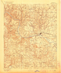
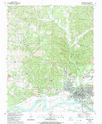
1891 Map of Batesville
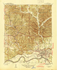
USGS Topo · Published 1942About this map
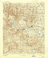
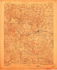
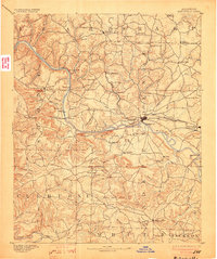
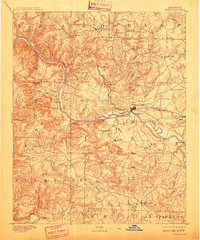
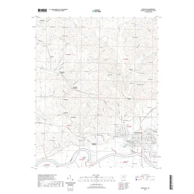
The White River serves as the central artery of this 1890s survey, dictating the placement of early infrastructure and settlements across north-central Arkansas. The regional hub of Batesville is depicted at a critical juncture where the St. Louis Iron Mountain and Southern railroad meets the river, emphasizing its role as a transportation node. Along the river banks, numerous river-crossings such as Grigsby Fy, Greenbrier Fy, and Gainer Fy indicate a landscape where ferry transit was essential for commerce and travel.
Find a feature on this map
72 named features on this map. Tap any name to fly to it.
Don’t see what you’re looking for? This feature index may not catch every label — zoom into the map to look around manually.
Map Details
Editions of this 1891 Batesville Map
6 editions found

Historical Maps of Batesville Through Time
11 maps found

1890 Batesville
Independence County, AR
1891 Batesville
Independence County, AR
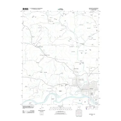
1942 Batesville
Independence County, AR
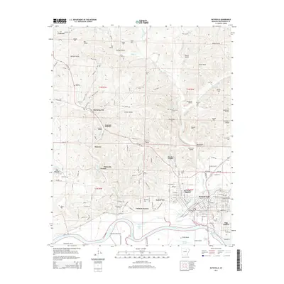
1943 Batesville
Independence County, AR
1986 Batesville
Independence County, AR
1989 Batesville
Independence County, AR
2011 Batesville
Independence County, AR
2014 Batesville
Independence County, AR
2017 Batesville
Independence County, AR
2020 Batesville
Independence County, AR

2024 Batesville
Independence County, AR