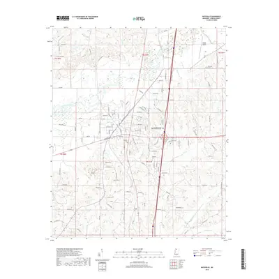
2018 Map of Batesville
USGS Topo · Published 2018About this map
Batesville serves as the central hub of this 2018 survey, showing a landscape defined by the drainage of the Little Tallahatchie River and its numerous tributaries. The city’s residential and commercial core is detailed with local thoroughfares such as Broadway St and Eureka St, stretching south toward the riparian lowlands of Vance Bottom Rd. To the northeast, the Panola County Airport provides an anchor for local aviation infrastructure. The surrounding terrain is heavily influenced by water, from the winding course of Bobo Bayou in the southwest to Hotopha Cr in the northeast. For those researching local heritage, the map identifies several significant resting places, including Magnolia Cem near the town center and Shiloh Cem further south. The pattern of development follows the natural contours formed by creeks like Sand Cr and Viney Cr, illustrating how the modern city layout remains tethered to the area's original hydrology.
Find a feature on this map
116 named features on this map. Tap any name to fly to it.
Don’t see what you’re looking for? This feature index may not catch every label — zoom into the map to look around manually.
Map Details
Editions of this 2018 Batesville Map
This is the sole edition of this map. No revisions or reprints were ever made.
Other maps of this area

1932 · Sledge
USGS Topo · 1:48,000

1935 · Crowder
USGS Topo · 1:62,500

1935 · Sledge
USGS Topo · 1:62,500

1939 · Sledge
USGS Topo · 1:62,500

1939 · Crowder
USGS Topo · 1:62,500

1948 · Helena
USGS Topo · 1:250,000

1950 · Helena
USGS Topo · 1:250,000

1952 · Sardis
USGS Topo · 1:62,500

1953 · Sardis
USGS Topo · 1:62,500

1954 · Oakland
USGS Topo · 1:62,500