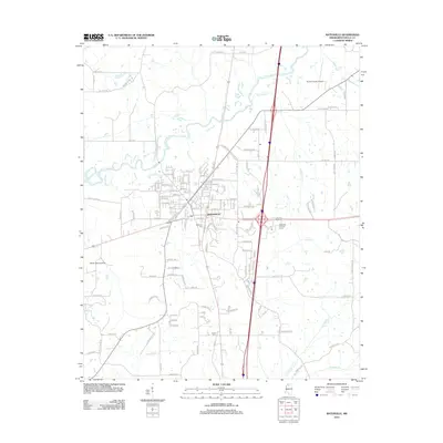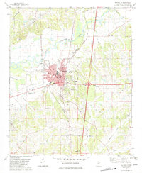
1982 Map of Batesville
USGS Topo · Published 1982About this map
Batesville functions as a regional hub in this early 1980s survey, defined by its position along the Illinois Central Gulf Railroad. The town center is densely documented with civic landmarks including the Courthouse, City Hall, and the Library, reflecting its role as the seat of Panola County. Beyond the urban core, the landscape is shaped by the winding Little Tallahatchie River and its numerous tributaries such as Buck Horn Creek and Running Slough. The infrastructure of the era is evident in the presence of several radio towers, the South Co Hospital, and educational facilities like South Panola High School. For genealogists, the map is particularly useful for its coverage of rural religious and burial sites, including Vaughns Chapel, Bethlehem Church, and the Viney Creek Cemetery, which are scattered throughout the agricultural and creek-carved terrain surrounding the main settlement.
Find a feature on this map
51 named features on this map. Tap any name to fly to it.
Don’t see what you’re looking for? This feature index may not catch every label — zoom into the map to look around manually.
Map Details
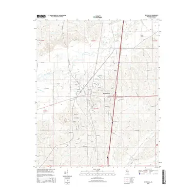
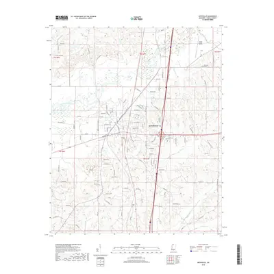
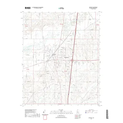
Editions of this 1982 Batesville Map
This is the sole edition of this map. No revisions or reprints were ever made.
Historical Maps of Batesville Through Time
6 maps found