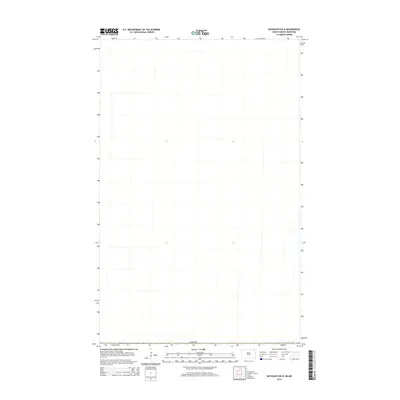
2014 Map of Bathgate OE N
USGS Topo · Published 2014About this map
The international border with Canada defines the southern edge of this survey, capturing the transition from North Dakota into the rural landscape of southern Manitoba. While the map is sparse with labels, the intricate hydrography of small streams and waterways illustrates the natural drainage patterns across this borderland territory. This 2014 edition serves as a precise record of the physical landscape and water features just north of the border, providing a spatial perspective on the Municipality of Rhineland before more recent agricultural or infrastructure developments. The absence of traditional settlements on this specific sheet highlights the open, rural character of the region during the early twenty-first century.
Find a feature on this map
1 named feature on this map. Tap any name to fly to it.
Don’t see what you’re looking for? This feature index may not catch every label — zoom into the map to look around manually.
Map Details
Editions of this 2014 Bathgate OE N Map
This is the sole edition of this map. No revisions or reprints were ever made.
Other maps of this area

1939 · Cavalier
USGS Topo · 1:62,500

1941 · Cavalier
USGS Topo · 1:62,500

1941 · Bathgate
USGS Topo · 1:62,500

1952 · Thief River Falls
USGS Topo · 1:250,000

1956 · Thief River Falls
USGS Topo · 1:250,000

1957 · Thief River Falls
USGS Topo · 1:250,000

1964 · Neche
USGS Topo · 1:24,000

1967 · Thief River Falls
USGS Topo · 1:250,000
1970 · Bathgate NE
USGS Topo · 1:24,000
1971 · Bathgate
USGS Topo · 1:24,000