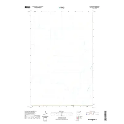
2020 Map of Bathgate OE N
USGS Topo · Published 2020About this map
Rivière aux Marais meanders through the landscape of the Red River Valley just north of the international border in 2020. This particular sheet represents a portion of the Canadian prairie along the edge of the Canada boundary, where the terrain is strikingly flat and organized by a rigid grid of local roads and property lines typical of the Municipality of Rhineland. The drainage patterns of the Rivière aux Marais dictate much of the local topography in an otherwise highly structured agricultural environment. While primarily focused on rural expanses, the map serves as a contemporary record of the land-use patterns and hydrology near the Manitoba-North Dakota border, showing how the natural waterway persists amidst the human-imposed geometry of the plains.
Find a feature on this map
2 named features on this map. Tap any name to fly to it.
Don’t see what you’re looking for? This feature index may not catch every label — zoom into the map to look around manually.
Map Details
Editions of this 2020 Bathgate OE N Map
This is the sole edition of this map. No revisions or reprints were ever made.
Other maps of this area

1939 · Cavalier
USGS Topo · 1:62,500

1941 · Cavalier
USGS Topo · 1:62,500

1941 · Bathgate
USGS Topo · 1:62,500

1952 · Thief River Falls
USGS Topo · 1:250,000

1956 · Thief River Falls
USGS Topo · 1:250,000

1957 · Thief River Falls
USGS Topo · 1:250,000

1964 · Neche
USGS Topo · 1:24,000

1967 · Thief River Falls
USGS Topo · 1:250,000
1970 · Bathgate NE
USGS Topo · 1:24,000
1971 · Bathgate
USGS Topo · 1:24,000