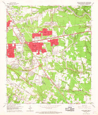
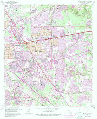
1963 Map of Baton Rouge East
USGS Topo · Published 1968About this map
The Comite River and several southern bayous define the landscape east of the state capital during a period of significant suburban expansion. New residential developments like Broadmoor, Castlewood, and Red Oak emerge alongside established landmarks such as the Baton Rouge Depot and the Downtown Airport. The map documents a transition from rural tracts to organized neighborhoods, evidenced by the proliferation of community infrastructure including Broadmoor High Sch and St Thomas More Sch.
Find a feature on this map
90 named features on this map. Tap any name to fly to it.
Don’t see what you’re looking for? This feature index may not catch every label — zoom into the map to look around manually.
Map Details
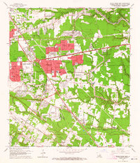
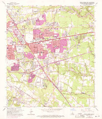
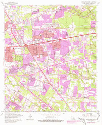
Editions of this 1963 Baton Rouge East Map
5 editions found
Other maps of this area

1906 · Bayou Sara
USGS Topo · 1:125,000

1908 · Baton Rouge
USGS Topo · 1:62,500

1934 · Denham Springs
USGS Topo · 1:62,500

1939 · Zachary
USGS Topo · 1:62,500

1939 · Denham Springs
USGS Topo · 1:62,500

1939 · Baton Rouge
USGS Topo · 1:62,500

1942 · Watson
USGS Topo · 1:31,680

1953 · Baton Rouge West
USGS Topo · 1:24,000

1953 · Plaquemine
USGS Topo · 1:24,000

1953 · St. Gabriel
USGS Topo · 1:24,000