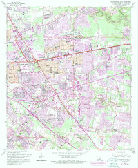
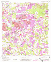
1963 Map of Baton Rouge East
USGS Topo · Published 1989About this map
Baton Rouge expands eastward toward the Comite River in this detailed look at the capital's suburban growth during the mid-to-late 20th century. The landscape is a mix of established residential developments like Broadmoor and Goodwood alongside rural pockets and emerging infrastructure. Distinctive landmarks such as the Baton Rouge Depot and the Baton Rouge Country Club sit near specialized sites like the Green Oaks Memorial Park and the Bon Marche Shopping Center. For genealogists, the map is particularly useful for locating smaller family or community burial grounds, including Harelson Cem, Kleinpeter Cem, and the Bible Students Cem. The mapping also tracks the winding paths of Ward Creek and Jones Creek as they navigate the area's drainage before reaching the Bayou Duplantier and Clay Cut Bayou.
Find a feature on this map
61 named features on this map. Tap any name to fly to it.
Don’t see what you’re looking for? This feature index may not catch every label — zoom into the map to look around manually.
Map Details
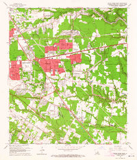
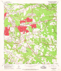
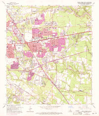
Editions of this 1963 Baton Rouge East Map
5 editions found
Other maps of this area

1906 · Bayou Sara
USGS Topo · 1:125,000

1908 · Baton Rouge
USGS Topo · 1:62,500

1934 · Denham Springs
USGS Topo · 1:62,500

1939 · Zachary
USGS Topo · 1:62,500

1939 · Denham Springs
USGS Topo · 1:62,500

1939 · Baton Rouge
USGS Topo · 1:62,500

1942 · Watson
USGS Topo · 1:31,680

1953 · Baton Rouge West
USGS Topo · 1:24,000

1953 · Plaquemine
USGS Topo · 1:24,000

1953 · St. Gabriel
USGS Topo · 1:24,000