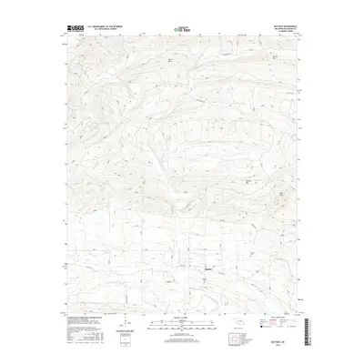
2016 Map of Battiest
USGS Topo · Published 2016About this map
The community of Battiest serves as the focal point of this McCurtain County landscape, situated along the West Fork Glover River. This survey captures the rural character of the region, where the river's winding course and its many tributaries, such as Silver Cr and Winship Br, define the valley floor. To the north and east, the terrain rises into prominent elevations including Short Mtn, Spring Mtn, and the distinctive High Peak, illustrating the transition from bottomlands to upland ridges. The mapping of Parsons and the presence of family and community sites like Battiest Cem and Parsons Cem offer significant data for genealogical research. Local transit is marked by routes such as Battiest Rd and the Wild Horse Trl, which follow the natural contours of the ridges and riverbanks.
Find a feature on this map
24 named features on this map. Tap any name to fly to it.
Don’t see what you’re looking for? This feature index may not catch every label — zoom into the map to look around manually.
Map Details
Editions of this 2016 Battiest Map
This is the sole edition of this map. No revisions or reprints were ever made.
Other maps of this area

1900 · Winding Stair
USGS Topo · 1:125,000

1901 · Tuskahoma
USGS Topo · 1:125,000

1901 · Alikchi
USGS Topo · 1:125,000

1902 · Lukfata
USGS Topo · 1:125,000

1908 · Tuskahoma
USGS Topo · 1:125,000

1909 · Tuskahoma
USGS Topo · 1:125,000

1909 · Winding Stair
USGS Topo · 1:125,000

1950 · Mcalester
USGS Topo · 1:250,000

1960 · Bethel
USGS Topo · 1:62,500

1962 · McAlester
USGS Topo · 1:250,000