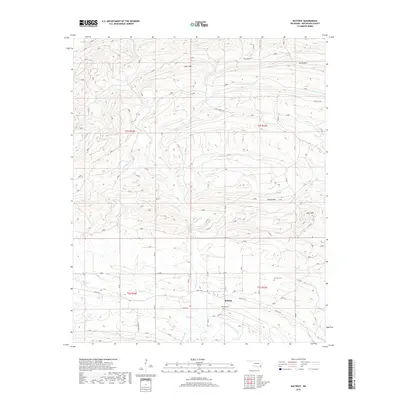
2018 Map of Battiest
USGS Topo · Published 2018About this map
Battiest serves as the primary focal point of this rugged McCurtain County landscape, where the West Fork Glover River and its numerous tributaries like Blackwell Br and Winship Br carve through the terrain. The settlement is anchored by local landmarks such as Battiest Cem, with Parsons Cem located further east, providing significant points of interest for genealogical research. The topography is dominated by prominent heights including Short Mtn, Spring Mtn, and High Peak, which dictate the winding paths of rural routes like Battiest RD and Main Co ST. The presence of the Wild Horse Trl cutting through the northern ridges suggests a landscape defined by traditional timber or recreational access routes common to this portion of the Ouachita Mountains foothills.
Find a feature on this map
26 named features on this map. Tap any name to fly to it.
Don’t see what you’re looking for? This feature index may not catch every label — zoom into the map to look around manually.
Map Details
Editions of this 2018 Battiest Map
This is the sole edition of this map. No revisions or reprints were ever made.
Other maps of this area

1900 · Winding Stair
USGS Topo · 1:125,000

1901 · Tuskahoma
USGS Topo · 1:125,000

1901 · Alikchi
USGS Topo · 1:125,000

1902 · Lukfata
USGS Topo · 1:125,000

1908 · Tuskahoma
USGS Topo · 1:125,000

1909 · Tuskahoma
USGS Topo · 1:125,000

1909 · Winding Stair
USGS Topo · 1:125,000

1950 · Mcalester
USGS Topo · 1:250,000

1960 · Bethel
USGS Topo · 1:62,500

1962 · McAlester
USGS Topo · 1:250,000