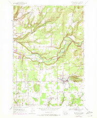
1954 Map of Battle Ground
USGS Topo · Published 1971About this map
The East Fork Lewis River snakes through the center of this Clark County landscape, defining the transition from the rolling southern farmland to the more dissected northern hills. During the mid-century, the area around Battle Ground served as a vital local hub, connected by the Burlington Northern railroad. The map documents a cluster of small rural communities and crossroads such as Charter Oak, Dollar Corner, and Meadow Glade, which supported the surrounding agricultural and timber operations.
Find a feature on this map
27 named features on this map. Tap any name to fly to it.
Don’t see what you’re looking for? This feature index may not catch every label — zoom into the map to look around manually.
Map Details
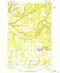
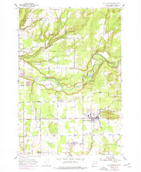
Editions of this 1954 Battle Ground Map
3 editions found
Other maps of this area

1897 · Portland
USGS Topo · 1:62,500

1905 · Portland
USGS Topo · 1:62,500

1918 · Troutdale
USGS Topo · 1:62,500

1934 · Troutdale
USGS Topo · 1:48,000

1940 · Portland
USGS Topo · 1:62,500

1940 · La Center
USGS Topo · 1:62,500

1941 · Yacolt
USGS Topo · 1:62,500

1941 · Camas
USGS Topo · 1:62,500

1942 · Camas
USGS Topo · 1:62,500

1948 · Vancouver
USGS Topo · 1:250,000