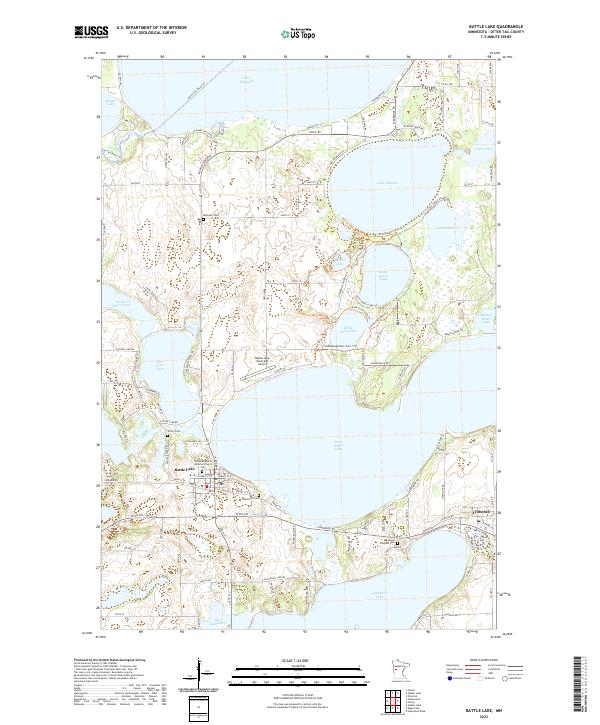
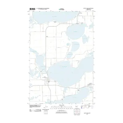
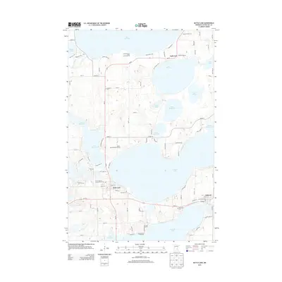
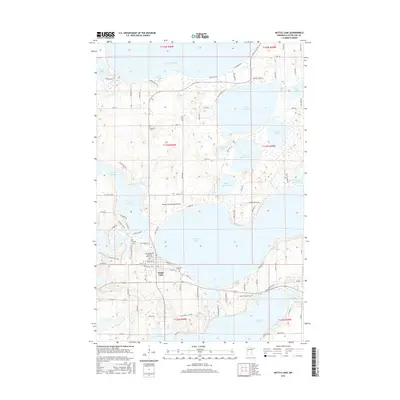
2022 Map of Battle Lake
USGS Topo · Published 2022About this map
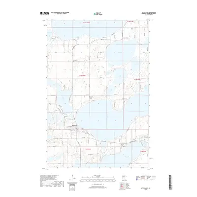
The town of Battle Lake serves as a central hub in this lake-studded landscape of Otter Tail County, positioned between the expansive West Battle Lake and the smaller First Silver Lake. This 2022 survey details a transition from the structured residential grid of the village, which includes the First Evangelical Lutheran Church, to a periphery defined by seasonal recreation and local heritage. Numerous burial grounds, such as Lakewood Cem and the more remote Skibvedt Cem, provide vital touchpoints for genealogists tracing family histories in the region.
Find a feature on this map
120 named features on this map. Tap any name to fly to it.
Don’t see what you’re looking for? This feature index may not catch every label — zoom into the map to look around manually.
Map Details
Editions of this 2022 Battle Lake Map
This is the sole edition of this map. No revisions or reprints were ever made.
Historical Maps of Battle Lake Through Time
9 maps found
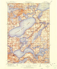
1912 Battle Lake
Otter Tail County, MN
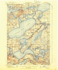
1914 Battle Lake
Otter Tail County, MN
1973 Battle Lake
Otter Tail County, MN
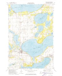
1986 Battle Lake
Otter Tail County, MN
2010 Battle Lake
Otter Tail County, MN
2013 Battle Lake
Otter Tail County, MN
2016 Battle Lake
Otter Tail County, MN
2019 Battle Lake
Otter Tail County, MN
2022 Battle Lake
Otter Tail County, MN