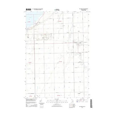
2014 Map of Bay Port East
USGS Topo · Published 2014About this map
Wild Fowl Bay and the shoreline of Lake Huron anchor the northwest corner of this Huron County survey, where the land transitions from the marshy edges of the lake into the productive agricultural interior of Michigan's Thumb. The village of Pigeon serves as a primary hub, showing a concentrated grid of streets such as Michigan Ave and Charles St. The landscape is defined by the winding paths of the Pigeon River and several smaller tributaries including Shebeon Cr, Mud Cr, and Wasserman Cr.
Find a feature on this map
73 named features on this map. Tap any name to fly to it.
Don’t see what you’re looking for? This feature index may not catch every label — zoom into the map to look around manually.
Map Details
Editions of this 2014 Bay Port East Map
This is the sole edition of this map. No revisions or reprints were ever made.
Other maps of this area

1954 · Flint
USGS Topo · 1:250,000

1958 · Flint
USGS Topo · 1:250,000

1963 · Gagetown
USGS Topo · 1:24,000

1963 · Owendale
USGS Topo · 1:24,000

1963 · Sebewaing
USGS Topo · 1:24,000

1970 · Bay Port West
USGS Topo · 1:24,000

1970 · Bay Port East
USGS Topo · 1:24,000

1970 · Caseville
USGS Topo · 1:24,000
1970 · Rush Lake
USGS Topo · 1:24,000

1970 · Sand Point
USGS Topo · 1:24,000