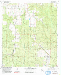
1978 Map of Bay Springs
USGS Topo · Published 1992About this map
The low-lying wetlands of northern Florida's Panhandle are defined here by a dense network of watercourses, where the St Louis - San Francisco railroad cuts a straight line through the drainage basins of Pine Barren Creek and McDavid Creek. Small settlements like Bay Springs and McKinnon anchor the local geography, surrounded by active industrial extraction sites including a Claypit and Sandpit. These features reflect a mid-to-late 20th-century landscape of rural resource extraction and transit infrastructure.
Find a feature on this map
17 named features on this map. Tap any name to fly to it.
Don’t see what you’re looking for? This feature index may not catch every label — zoom into the map to look around manually.
Map Details
Editions of this 1978 Bay Springs Map
2 editions found
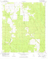
Other maps of this area

1920 · Robertsdale
USGS Topo · 1:62,500

1921 · Muscogee
USGS Topo · 1:62,500

1941 · Muscogee
USGS Topo · 1:62,500

1941 · Robertsdale
USGS Topo · 1:62,500

1941 · Century
USGS Topo · 1:62,500

1942 · Dyas
USGS Topo · 1:62,500

1943 · Robertsdale
USGS Topo · 1:62,500

1943 · Muscogee
USGS Topo · 1:62,500

1943 · Century
USGS Topo · 1:62,500

1944 · Dyas
USGS Topo · 1:62,500