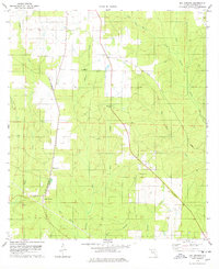
1978 Map of Bay Springs
USGS Topo · Published 1978About this map
Bay Springs and the nearby settlement of McKinnon serve as the primary hubs in this rural Escambia County landscape, situated along the north-south corridor of the St Louis - San Francisco railroad. The terrain is defined by a dense network of drainage systems, including the southward-flowing Boggy Creek, McDavid Creek, and McDade Creek, which carve through the timber and agricultural lands of the Florida Panhandle. Local history is evidenced by small-scale industrial sites like the Claypit and Sandpit near the western boundary, and a central Cem located just north of Bay Springs.
Find a feature on this map
24 named features on this map. Tap any name to fly to it.
Don’t see what you’re looking for? This feature index may not catch every label — zoom into the map to look around manually.
Map Details
Editions of this 1978 Bay Springs Map
2 editions found
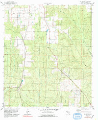
Other maps of this area

1920 · Robertsdale
USGS Topo · 1:62,500

1921 · Muscogee
USGS Topo · 1:62,500

1941 · Muscogee
USGS Topo · 1:62,500

1941 · Robertsdale
USGS Topo · 1:62,500

1941 · Century
USGS Topo · 1:62,500

1942 · Dyas
USGS Topo · 1:62,500

1943 · Robertsdale
USGS Topo · 1:62,500

1943 · Muscogee
USGS Topo · 1:62,500

1943 · Century
USGS Topo · 1:62,500

1944 · Dyas
USGS Topo · 1:62,500