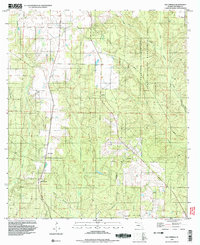
1994 Map of Bay Springs
USGS Topo · Published 1998About this map
Bay Springs and the nearby settlement of McKinnon anchor the lower portion of this landscape, situated near a network of small industrial sites including a Sandpit and Claypit. The area is defined by its extensive water system, where McDavid Creek and Boggy Creek drain the western reaches while Pine Barren Creek and Little Pine Barren Creek wind through the north. The eastern half of the map is dominated by the Champion International State Wildlife Management Area, a large managed tract intersected by several small tributaries such as Blue Water Creek and Alligator Creek. This 1990s-era topography reveals a rural landscape still marked by traditional land use, from the quiet Cem near the residential clusters to the isolated Roadside Park along the highway corridor. Small stream branches like Slit Branch and Pond Branch emphasize the complex drainage patterns common to the Florida Panhandle.
Find a feature on this map
19 named features on this map. Tap any name to fly to it.
Don’t see what you’re looking for? This feature index may not catch every label — zoom into the map to look around manually.
Map Details
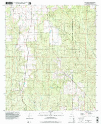
Editions of this 1994 Bay Springs Map
2 editions found
Other maps of this area

1920 · Robertsdale
USGS Topo · 1:62,500

1921 · Muscogee
USGS Topo · 1:62,500

1941 · Muscogee
USGS Topo · 1:62,500

1941 · Robertsdale
USGS Topo · 1:62,500

1941 · Century
USGS Topo · 1:62,500

1942 · Dyas
USGS Topo · 1:62,500

1943 · Robertsdale
USGS Topo · 1:62,500

1943 · Muscogee
USGS Topo · 1:62,500

1943 · Century
USGS Topo · 1:62,500

1944 · Dyas
USGS Topo · 1:62,500