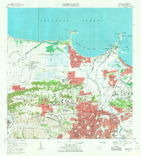
1969 Map of Bayamon
USGS Topo · Published 1971About this map
Suburban expansion and industrial infrastructure dominate this coastal quadrangle, centered on the rapidly growing residential sectors of Bayamon Gardens and the coastal community of Levittown. The landscape is a mix of dense street grids, such as those in Santa Juanita and Vista Alegre, and significant military and technical installations. The US Naval Radio Station (R) Sabana Seca occupies a large tract of the low-lying Sabana Seca plain, while the Planta Termoeléctrica de Palo Seco anchors the industrial shoreline at Pta Palo Seco.
Find a feature on this map
241 named features on this map. Tap any name to fly to it.
Don’t see what you’re looking for? This feature index may not catch every label — zoom into the map to look around manually.
Map Details
Editions of this 1969 Bayamon Map
4 editions found

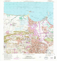
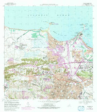
Other maps of this area

1940 · Vega Alta
USGS Topo · 1:30,000

1941 · Bayamon
USGS Topo · 1:30,000

1941 · San Juan
USGS Topo · 1:30,000

1946 · Aguas Buenas
USGS Topo · 1:30,000

1946 · Corozal
USGS Topo · 1:30,000

1946 · Vega Alta
USGS Topo · 1:30,000

1946 · Naranjito
USGS Topo · 1:30,000
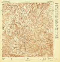
1947 · Corozal NE
USGS Topo · 1:10,000

1947 · Aguas Buenas NO
USGS Topo · 1:10,000

1947 · Bayamon
USGS Topo · 1:30,000
Featured Places
- Bayamón, Bayamón
- Toa Alta, Toa Alta
- Parque del Lago, Toa Baja
- Sector La Arena, Toa Alta
- Sector del Conuco, Bayamón