
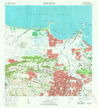
1969 Map of Bayamon
USGS Topo · Published 1982About this map
Bayamón and its surrounding barrios show a landscape in rapid transition during the late 1960s, as urban expansion in purple tint pushes into the coastal plains and mogote foothills. The northern coast is defined by industrial and military installations, including the Planta Termoeléctrica de Palo Seco and the Fort Mascaro U.S.A.F. Mil. Res. at Pta Salinas. To the west, the planned community of Levittown stands in sharp contrast to the older agricultural patterns of Sabana Seca and the sprawling US Naval Radio Station (R) Sabana Seca.
Find a feature on this map
119 named features on this map. Tap any name to fly to it.
Don’t see what you’re looking for? This feature index may not catch every label — zoom into the map to look around manually.
Map Details
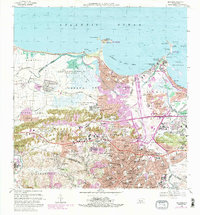
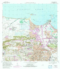
Editions of this 1969 Bayamon Map
4 editions found
Other maps of this area

1940 · Vega Alta
USGS Topo · 1:30,000

1941 · Bayamon
USGS Topo · 1:30,000

1941 · San Juan
USGS Topo · 1:30,000

1946 · Aguas Buenas
USGS Topo · 1:30,000

1946 · Corozal
USGS Topo · 1:30,000

1946 · Vega Alta
USGS Topo · 1:30,000

1946 · Naranjito
USGS Topo · 1:30,000
1947 · Corozal NE
USGS Topo · 1:10,000

1947 · Aguas Buenas NO
USGS Topo · 1:10,000

1947 · Bayamon
USGS Topo · 1:30,000