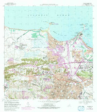
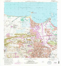
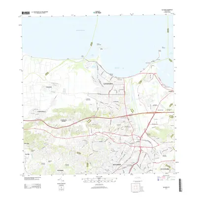
1969 Map of Bayamon
USGS Topo · Published 1988About this map
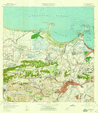
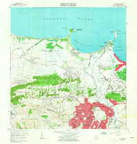
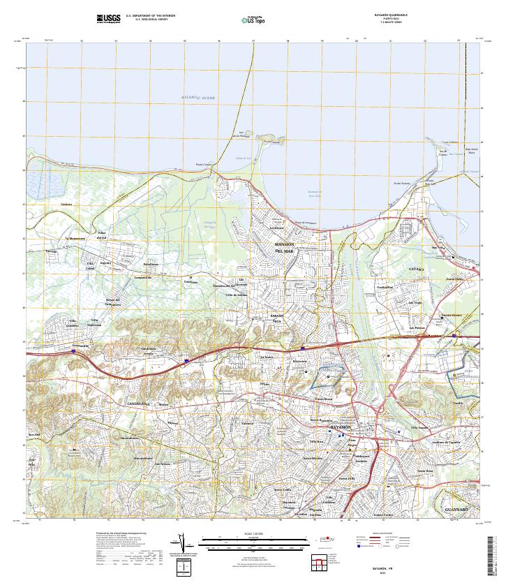
Coastal development and military infrastructure define this coastal area where the Río de Bayamón meets the Ensenada de Boca Vieja. The landscape reflects a transition from industrial and utility sites, such as the Planta Termoelectrica de Palo Seco, to large-scale residential projects like Levittown. Extensive military and communications facilities are prominent throughout, including the Fort Mascaro U.S.A.F. Mil. Res. on the Pta Salinas peninsula and the sprawling US Naval Radio Station (R) Sabana Seca.
Find a feature on this map
207 named features on this map. Tap any name to fly to it.
Don’t see what you’re looking for? This feature index may not catch every label — zoom into the map to look around manually.
Map Details
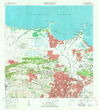
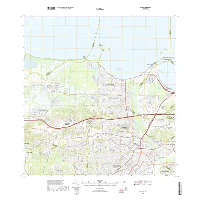
Editions of this 1969 Bayamon Map
4 editions found

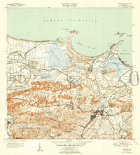
Historical Maps of Bayamón Through Time
10 maps found

1941 Bayamon
Bayamón Municipio, PR
1947 Bayamon
Bayamón Municipio, PR
1947 Naranjito NE
Bayamón Municipio, PR
1950 Bayamon SE
Bayamón Municipio, PR
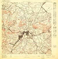
1957 Bayamon
Bayamón Municipio, PR
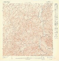
1963 Bayamon
Bayamón Municipio, PR
1969 Bayamon
Bayamón Municipio, PR
2013 Bayamon
Bayamón Municipio, PR
2018 Bayamon
Bayamón Municipio, PR
2024 Bayamon
Bayamón Municipio, PR
Featured Locations
- Parque del Lago, Toa Baja
- Sector La Arena, Toa Alta
- Toa Alta, Toa Alta
- Bayamón, Bayamón
- Sector del Conuco, Bayamón