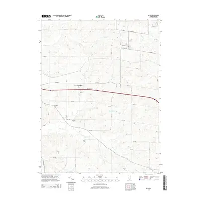
2015 Map of Baylis
USGS Topo · Published 2015About this map
Baylis and New Philadelphia anchor this rural landscape in Pike County, Illinois, where the terrain is defined by a dense network of creek valleys and ridges. Numerous family and community burial grounds are scattered across the township, including Baylis Cem, Starkey Cem, and Johnson Cem, providing a detailed record for genealogical research. The drainage patterns of Hadley Cr and Kiser Cr shape the local geography, with smaller tributaries like Bull Run and Sixmile Cr carving through the agricultural land. Pockets of water such as Rising Spring Orchard Lake and Farm Pond sit among the section lines and county roads that crisscross the area. The map illustrates a contemporary view of this farming region, maintaining its traditional layout of small settlements and dispersed rural homesteads connected by routes like Co Highway 2 and Co Highway 6.
Find a feature on this map
59 named features on this map. Tap any name to fly to it.
Don’t see what you’re looking for? This feature index may not catch every label — zoom into the map to look around manually.
Map Details
Editions of this 2015 Baylis Map
This is the sole edition of this map. No revisions or reprints were ever made.
Other maps of this area

1925 · Liberty
USGS Topo · 1:62,500

1926 · Pittsfield
USGS Topo · 1:62,500

1926 · Mt Sterling
USGS Topo · 1:62,500

1927 · Liberty
USGS Topo · 1:62,500

1929 · Mt Sterling
USGS Topo · 1:62,500

1931 · Barry
USGS Topo · 1:62,500

1936 · Barry
USGS Topo · 1:48,000

1944 · Barry
USGS Topo · 1:62,500

1948 · Quincy
USGS Topo · 1:250,000

1956 · Quincy
USGS Topo · 1:250,000