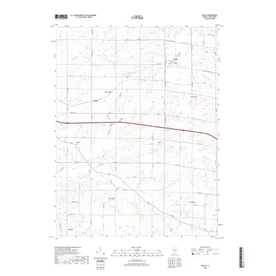
2018 Map of Baylis
USGS Topo · Published 2018About this map
Baylis serves as the central hub of this agricultural landscape in Pike County, defined by a network of rural roads and the headwaters of several drainages. For genealogists and local historians, the area is notably dense with family-named burial grounds, including McWorter Cem, Starkey Cem, and Pursley Cem, which are scattered throughout the townships. The terrain is dissected by numerous waterways such as Hadley Cr and Kiser Cr, which dictate the placement of early settlements like Hadley and the village of El Dara to the south. The transition from the high ground near the Baylis Road to Fish Hook down to the creek bottoms illustrates the enduring relationship between the region's topography and its long-standing farming communities.
Find a feature on this map
52 named features on this map. Tap any name to fly to it.
Don’t see what you’re looking for? This feature index may not catch every label — zoom into the map to look around manually.
Map Details
Editions of this 2018 Baylis Map
This is the sole edition of this map. No revisions or reprints were ever made.
Other maps of this area

1925 · Liberty
USGS Topo · 1:62,500

1926 · Pittsfield
USGS Topo · 1:62,500

1926 · Mt Sterling
USGS Topo · 1:62,500

1927 · Liberty
USGS Topo · 1:62,500

1929 · Mt Sterling
USGS Topo · 1:62,500

1931 · Barry
USGS Topo · 1:62,500

1936 · Barry
USGS Topo · 1:48,000

1944 · Barry
USGS Topo · 1:62,500

1948 · Quincy
USGS Topo · 1:250,000

1956 · Quincy
USGS Topo · 1:250,000