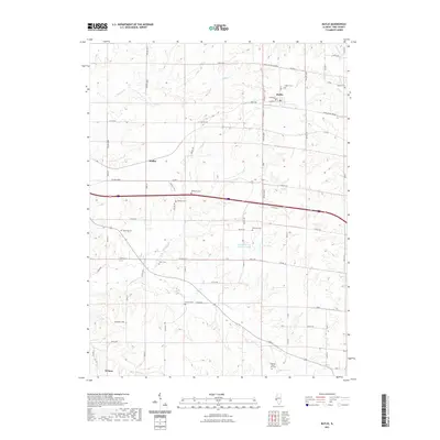
2021 Map of Baylis
USGS Topo · Published 2021About this map
Baylis and the surrounding township lands of Pike County reflect a long-established agricultural landscape, where the road network follows the geometric precision of the Public Land Survey System. The area is marked by a significant concentration of small family and community burial grounds, such as McWorter Cem, Johnson Cem, and the uniquely named Brawley Iftner - Orr Cem, which provide essential points of reference for genealogists tracing early settlers.
Find a feature on this map
47 named features on this map. Tap any name to fly to it.
Don’t see what you’re looking for? This feature index may not catch every label — zoom into the map to look around manually.
Map Details
Editions of this 2021 Baylis Map
This is the sole edition of this map. No revisions or reprints were ever made.
Other maps of this area

1925 · Liberty
USGS Topo · 1:62,500

1926 · Pittsfield
USGS Topo · 1:62,500

1926 · Mt Sterling
USGS Topo · 1:62,500

1927 · Liberty
USGS Topo · 1:62,500

1929 · Mt Sterling
USGS Topo · 1:62,500

1931 · Barry
USGS Topo · 1:62,500

1936 · Barry
USGS Topo · 1:48,000

1944 · Barry
USGS Topo · 1:62,500

1948 · Quincy
USGS Topo · 1:250,000

1956 · Quincy
USGS Topo · 1:250,000