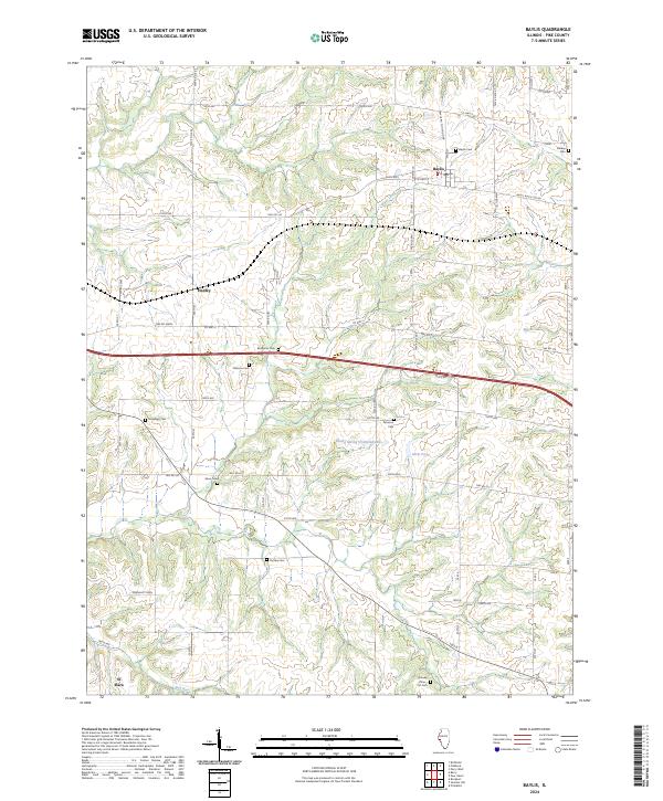
2024 Map of Baylis
USGS Topo · Published 2024About this map
The village of Baylis serves as a primary hub for this section of Pike County, where local roads such as W 2nd St and the Baylis Black Top Rd intersect. The landscape is defined by its deep agricultural and genealogical history, evidenced by a high density of small family and community burial grounds scattered across the countryside. From the Starkey Cem in the northeast to the Brawley - Iftner - Orr Cem in the south, these sites trace the lineage of early settlers near Hadley and El Dara. Drainage for these fields is provided by Kiser Creek and Bull Run, while smaller water features like Rising Spring Orchard Lake and Farm Pond punctuate the grid of township roads. This modern survey preserves the locations of numerous historic landmarks, including the McWorter Cem and Pursley Cem, which remain vital points of reference for local historians and genealogists.
Find a feature on this map
39 named features on this map. Tap any name to fly to it.
Don’t see what you’re looking for? This feature index may not catch every label — zoom into the map to look around manually.
Map Details
Editions of this 2024 Baylis Map
This is the sole edition of this map. No revisions or reprints were ever made.
Other maps of this area

1925 · Liberty
USGS Topo · 1:62,500

1926 · Pittsfield
USGS Topo · 1:62,500

1926 · Mt Sterling
USGS Topo · 1:62,500

1927 · Liberty
USGS Topo · 1:62,500

1929 · Mt Sterling
USGS Topo · 1:62,500

1931 · Barry
USGS Topo · 1:62,500

1936 · Barry
USGS Topo · 1:48,000

1944 · Barry
USGS Topo · 1:62,500

1948 · Quincy
USGS Topo · 1:250,000

1956 · Quincy
USGS Topo · 1:250,000