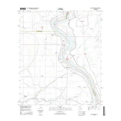
2015 Map of Bayou Current
USGS Topo · Published 2015About this map
The Atchafalaya River winds through this landscape at the intersection of St. Landry, Avoyelles, and Pointe Coupee Parishes. Small bayou settlements and river-adjacent communities such as Woodside, Gordon, and Bayou Current are scattered along the western bank, while McCrea sits to the north. This region is defined by its complex hydrology, featuring numerous named waterways like Bayou Jack, Bee Tree Bayou, and Starks Bayou that lace through the basin.
Find a feature on this map
72 named features on this map. Tap any name to fly to it.
Don’t see what you’re looking for? This feature index may not catch every label — zoom into the map to look around manually.
Map Details
Editions of this 2015 Bayou Current Map
This is the sole edition of this map. No revisions or reprints were ever made.
Other maps of this area

1939 · Fordoche
USGS Topo · 1:62,500

1941 · Batchelor
USGS Topo · 1:62,500

1954 · Baton Rouge
USGS Topo · 1:250,000

1955 · Fordoche
USGS Topo · 1:62,500

1955 · Batchelor
USGS Topo · 1:62,500

1955 · Odenburg
USGS Topo · 1:62,500

1956 · Baton Rouge
USGS Topo · 1:250,000

1959 · Fordoche
USGS Topo · 1:62,500

1959 · Palmetto
USGS Topo · 1:62,500

1961 · Baton Rouge
USGS Topo · 1:250,000