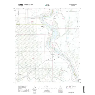
2020 Map of Bayou Current
USGS Topo · Published 2020About this map
The Atchafalaya River winds through a complex landscape of wetlands and plantations where Avoyelles, St. Landry, and Pointe Coupee Parishes converge. This survey documents the persistent settlement patterns of the river basin, featuring small communities like Bayou Current, Woodside, and McCrea. The land is defined by its hydrology, with numerous distributaries and marshes including The Bays, Bee Tree Bayou, and Hops Bayou framing the agricultural fields.
Find a feature on this map
74 named features on this map. Tap any name to fly to it.
Don’t see what you’re looking for? This feature index may not catch every label — zoom into the map to look around manually.
Map Details
Editions of this 2020 Bayou Current Map
This is the sole edition of this map. No revisions or reprints were ever made.
Other maps of this area
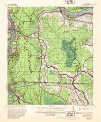
1939 · Fordoche
USGS Topo · 1:62,500
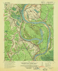
1941 · Batchelor
USGS Topo · 1:62,500

1954 · Baton Rouge
USGS Topo · 1:250,000
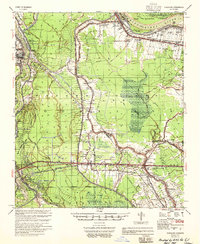
1955 · Fordoche
USGS Topo · 1:62,500
1955 · Batchelor
USGS Topo · 1:62,500
1955 · Odenburg
USGS Topo · 1:62,500
1956 · Baton Rouge
USGS Topo · 1:250,000
1959 · Fordoche
USGS Topo · 1:62,500
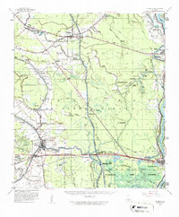
1959 · Palmetto
USGS Topo · 1:62,500
1961 · Baton Rouge
USGS Topo · 1:250,000