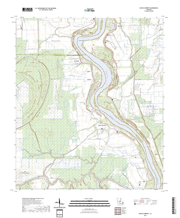
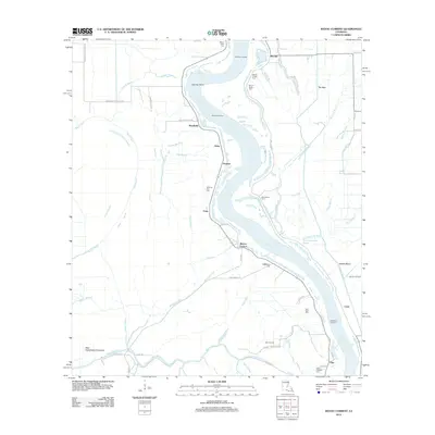
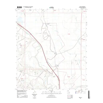
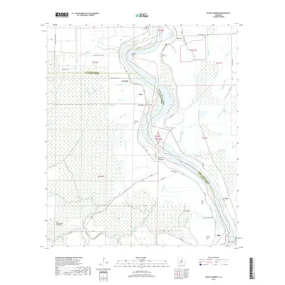
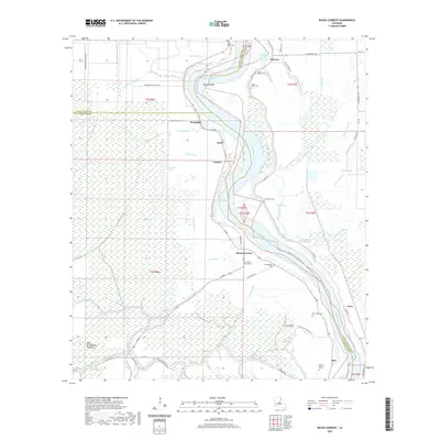
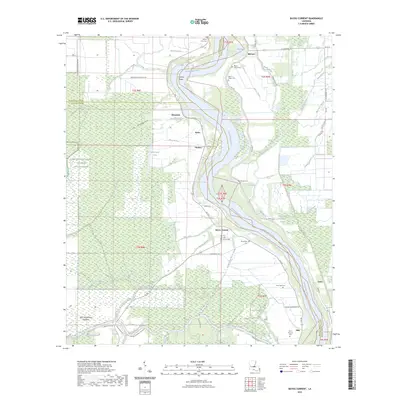
2024 Map of Bayou Current
USGS Topo · Published 2024About this map
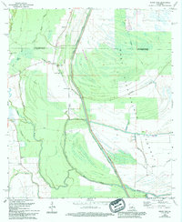
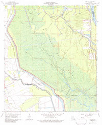
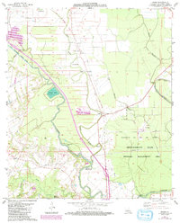
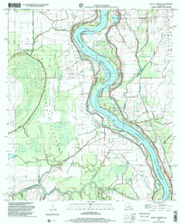
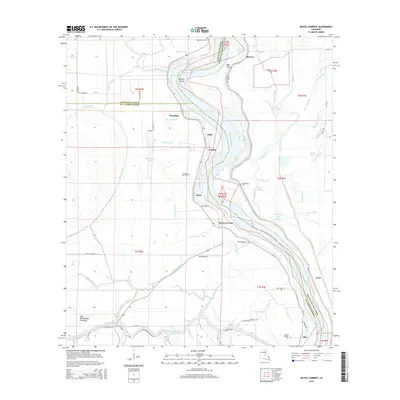
The Atchafalaya River winds through this low-lying landscape at the intersection of St. Landry, Avoyelles, and Pointe Coupee parishes. This 2024 survey captures a rural network of riverfront settlements and plantation-derived road names such as Woodside Plantation Rd and Delano Plantation Rd. Small communities like Bayou Current, McCrea, and Elba are scattered along the natural levees and secondary waterways, reflecting the enduring human footprint in the alluvial bottomlands.
Find a feature on this map
76 named features on this map. Tap any name to fly to it.
Don’t see what you’re looking for? This feature index may not catch every label — zoom into the map to look around manually.
Map Details
Editions of this 2024 Bayou Current Map
This is the sole edition of this map. No revisions or reprints were ever made.
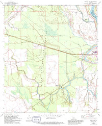
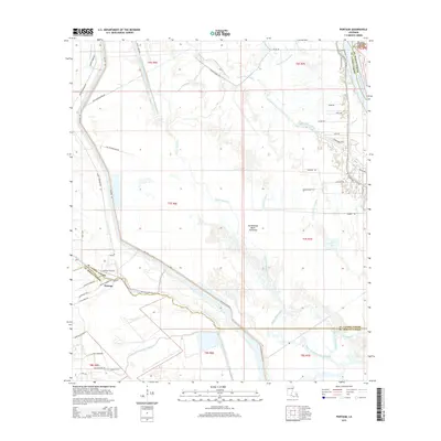
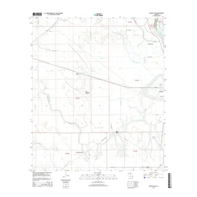
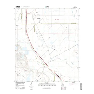
Historical Maps of Suna Through Time
38 maps found
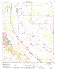
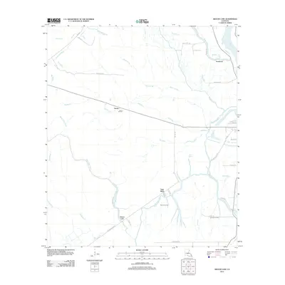
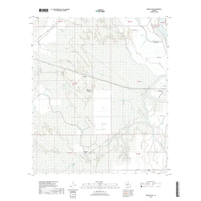
1966 Whiteville
St. Landry Parish, LA
1968 Swayze Lake
St. Landry Parish, LA
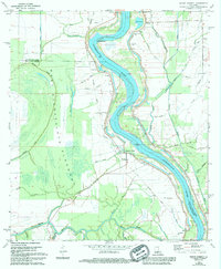
1969 Bayou Current
St. Landry Parish, LA
1969 Bayou Jack
St. Landry Parish, LA
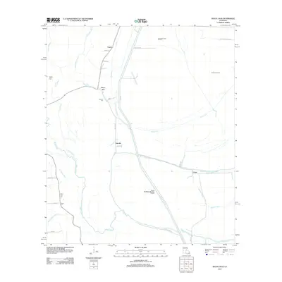
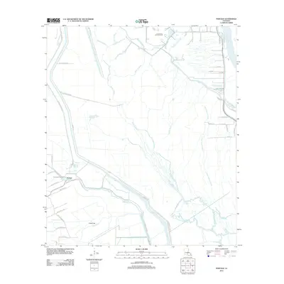
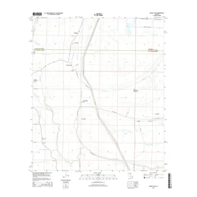
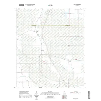
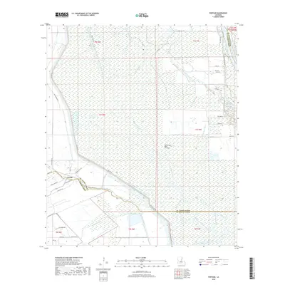
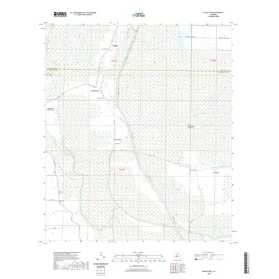
1970 Portage
St. Landry Parish, LA
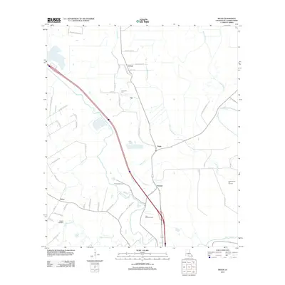
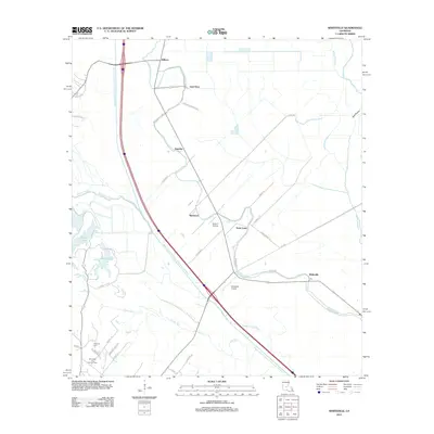
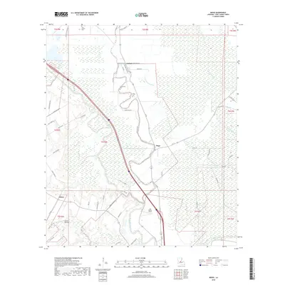
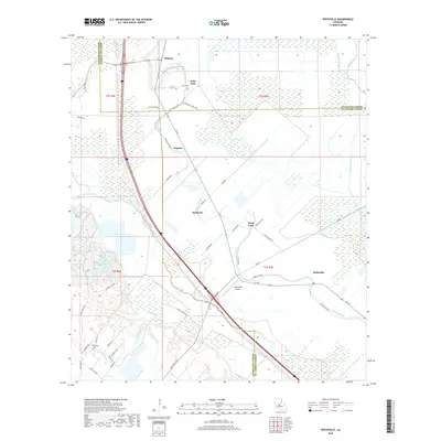
1983 Beggs
St. Landry Parish, LA
1998 Bayou Current
St. Landry Parish, LA
2012 Bayou Current
St. Landry Parish, LA
2012 Bayou Jack
St. Landry Parish, LA
2012 Beggs
St. Landry Parish, LA
2012 Portage
St. Landry Parish, LA
2012 Swayze Lake
St. Landry Parish, LA
2012 Whiteville
St. Landry Parish, LA
2015 Bayou Current
St. Landry Parish, LA
2015 Bayou Jack
St. Landry Parish, LA
2015 Beggs
St. Landry Parish, LA
2015 Portage
St. Landry Parish, LA
2015 Swayze Lake
St. Landry Parish, LA
2015 Whiteville
St. Landry Parish, LA
2018 Bayou Current
St. Landry Parish, LA
2018 Bayou Jack
St. Landry Parish, LA
2018 Beggs
St. Landry Parish, LA
2018 Portage
St. Landry Parish, LA
2018 Swayze Lake
St. Landry Parish, LA
2018 Whiteville
St. Landry Parish, LA
2020 Bayou Current
St. Landry Parish, LA
2020 Bayou Jack
St. Landry Parish, LA
2020 Beggs
St. Landry Parish, LA
2020 Portage
St. Landry Parish, LA
2020 Swayze Lake
St. Landry Parish, LA
2020 Whiteville
St. Landry Parish, LA
2023 Bayou Current
St. Landry Parish, LA
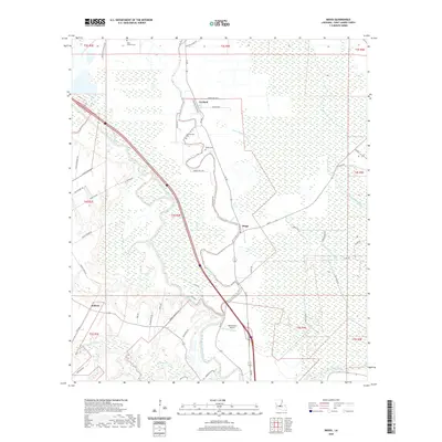
2024 Bayou Current
St. Landry Parish, LA
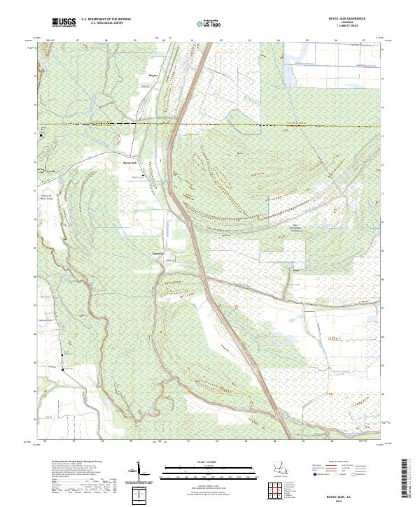
2024 Bayou Jack
St. Landry Parish, LA
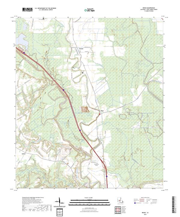
2024 Beggs
St. Landry Parish, LA
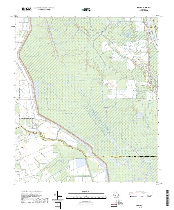
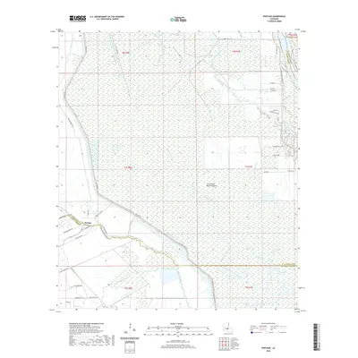
2024 Portage
St. Landry Parish, LA
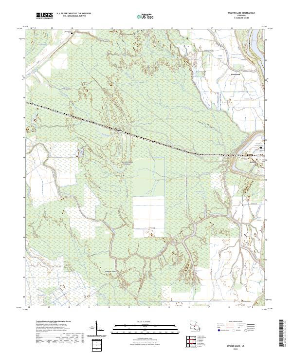
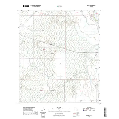
2024 Swayze Lake
St. Landry Parish, LA
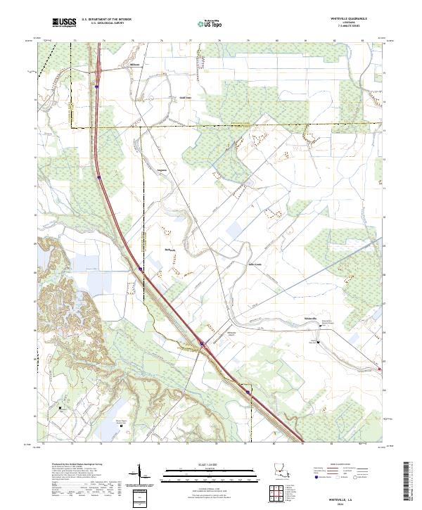
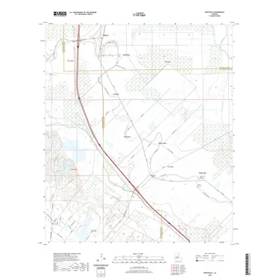
2024 Whiteville
St. Landry Parish, LA