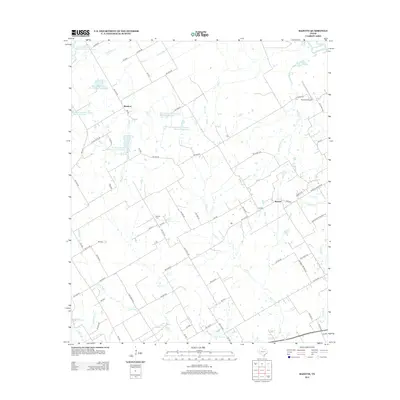
2012 Map of Bazette
USGS Topo · Published 2012About this map
The Trinity River corridor in Navarro County defines this rural landscape, where early 21st-century agricultural operations and water management systems dominate. The settlement of Bazette and the community at Montfort serve as the primary nodes of habitation, connected by a network of farm-to-market and county roads including Bazette Rd and Line Rd. Local genealogy and land history are centered around the Phillips Cem, which sits amidst a series of managed waterways and flood control structures.
Find a feature on this map
81 named features on this map. Tap any name to fly to it.
Don’t see what you’re looking for? This feature index may not catch every label — zoom into the map to look around manually.
Map Details
Editions of this 2012 Bazette Map
This is the sole edition of this map. No revisions or reprints were ever made.
Other maps of this area

1920 · Kemp
USGS Topo · 1:62,500

1954 · Dallas
USGS Topo · 1:250,000

1957 · Kemp
USGS Topo · 1:62,500

1958 · Dallas
USGS Topo · 1:250,000

1959 · Powell
USGS Topo · 1:24,000

1960 · Tool
USGS Topo · 1:24,000

1960 · Goodlow Park
USGS Topo · 1:24,000

1961 · Kerens
USGS Topo · 1:24,000

1961 · Chatfield
USGS Topo · 1:24,000

1962 · Bazette
USGS Topo · 1:24,000