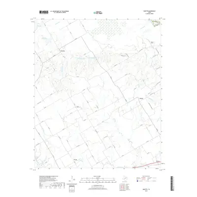
2019 Map of Bazette
USGS Topo · Published 2019About this map
The Trinity River defines the northeast boundary of this landscape, separating Navarro and Henderson counties. The area is characterized by a dense network of watercourses and conservation projects, including Soil Conservation Service Site 104 Reservoir and Soil Conservation Service Site 105 Reservoir. These man-made features support a landscape otherwise dominated by the winding paths of Rush Cr, Willow Creek, and Little Rush Cr.
Find a feature on this map
80 named features on this map. Tap any name to fly to it.
Don’t see what you’re looking for? This feature index may not catch every label — zoom into the map to look around manually.
Map Details
Editions of this 2019 Bazette Map
This is the sole edition of this map. No revisions or reprints were ever made.
Other maps of this area

1920 · Kemp
USGS Topo · 1:62,500

1954 · Dallas
USGS Topo · 1:250,000

1957 · Kemp
USGS Topo · 1:62,500

1958 · Dallas
USGS Topo · 1:250,000

1959 · Powell
USGS Topo · 1:24,000

1960 · Tool
USGS Topo · 1:24,000

1960 · Goodlow Park
USGS Topo · 1:24,000

1961 · Kerens
USGS Topo · 1:24,000

1961 · Chatfield
USGS Topo · 1:24,000

1962 · Bazette
USGS Topo · 1:24,000