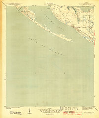
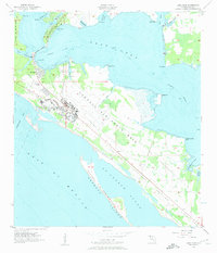
1943 Map of Beacon Beach
USGS Topo · Published 1943About this map
St Andrew Bay and its complex network of inlets and barrier peninsulas define this coastal survey of Florida's Panhandle during the Second World War. The settlement of Beacon Beach serves as a focal point along the interior shoreline, where the landscape is marked by tidal marshes and numerous small water bodies including Smack Bayou and Pearl Bayou. The map captures the intricate coastal geometry of the era, from the Entrance Channel in the west to the southern reaches of the bay.
Find a feature on this map
13 named features on this map. Tap any name to fly to it.
Don’t see what you’re looking for? This feature index may not catch every label — zoom into the map to look around manually.
Map Details
Editions of this 1943 Beacon Beach Map
3 editions found
Other maps of this area

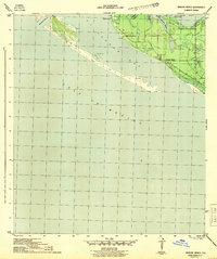
1943 · Beacon Beach
USGS Topo · 1:31,680

1943 · Panama City
USGS Topo · 1:31,680

1943 · Crooked Island
USGS Topo · 1:31,680

1943 · Panama City Beach
USGS Topo · 1:31,680

1944 · Long Point
USGS Topo · 1:31,680
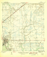
1945 · Parker
USGS Topo · 1:31,680

1949 · Apalachicola
USGS Topo · 1:250,000

1954 · Tallahassee
USGS Topo · 1:250,000
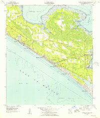
1955 · Panama City Beach
USGS Topo · 1:24,000
1956 · Long Point
USGS Topo · 1:24,000
Featured Places
- Beacon Beach, FL
- Felix Lake, FL
- Redfish Point Extension, FL
- Redfish Point Housing, FL
- Sabre Palms Housing, FL