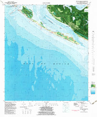
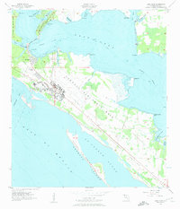
1982 Map of Beacon Beach
USGS Topo · Published 1983About this map
Tyndall Air Force Base dominates the eastern coastline of this early 1980s orthophotomap, where military development meets the barrier island landscape of the Florida Panhandle. The map illustrates a unique moment in the geography of St Andrew Bay, highlighting the narrow stretches of Shell Island and Hurricane Island that protect the mainland from the Gulf of Mexico. While much of the area is dedicated to state recreation and military use, local history is preserved in the location of Cromanton and the Marywood Cem near the shoreline.
Find a feature on this map
35 named features on this map. Tap any name to fly to it.
Don’t see what you’re looking for? This feature index may not catch every label — zoom into the map to look around manually.
Map Details
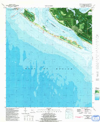
Editions of this 1982 Beacon Beach Map
2 editions found
Other maps of this area

1943 · Beacon Beach
USGS Topo · 1:31,680

1943 · Panama City
USGS Topo · 1:31,680

1943 · Crooked Island
USGS Topo · 1:31,680

1943 · Panama City Beach
USGS Topo · 1:31,680

1944 · Long Point
USGS Topo · 1:31,680
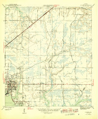
1945 · Parker
USGS Topo · 1:31,680

1949 · Apalachicola
USGS Topo · 1:250,000

1954 · Tallahassee
USGS Topo · 1:250,000
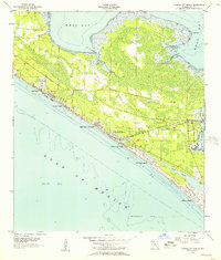
1955 · Panama City Beach
USGS Topo · 1:24,000
1956 · Long Point
USGS Topo · 1:24,000
Featured Places
- Beacon Beach, FL
- Felix Lake, FL
- Redfish Point Extension, FL
- Redfish Point Housing, FL
- Sabre Palms Housing, FL