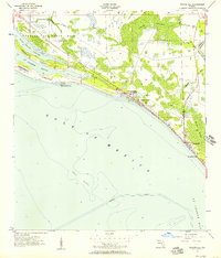
1956 Map of Beacon Hill
USGS Topo · Published 1957About this map
The coastal transition from Bay to Gulf County is defined by a landscape of barrier formations and saltwater sounds during the mid-1950s. At the heart of the coastline, Mexico Beach appears as a growing seaside settlement adjacent to a Landing Field, while further east, the small community of Beacon Hill sits near the lighthouse Lights overlooking the northern reach of St Joseph Bay.
Find a feature on this map
23 named features on this map. Tap any name to fly to it.
Don’t see what you’re looking for? This feature index may not catch every label — zoom into the map to look around manually.
Map Details
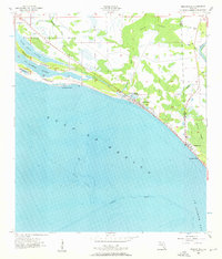
Editions of this 1956 Beacon Hill Map
2 editions found
Other maps of this area

1943 · Port St. Joe
USGS Topo · 1:31,680

1943 · Overstreet
USGS Topo · 1:31,680

1943 · Crooked Island
USGS Topo · 1:31,680

1944 · Beacon Hill
USGS Topo · 1:31,680

1944 · Long Point
USGS Topo · 1:31,680

1945 · Allanton
USGS Topo · 1:31,680

1945 · Wetappo Creek
USGS Topo · 1:31,680

1945 · St Joseph Point
USGS Topo · 1:31,680

1947 · Allanton
USGS Topo · 1:25,000

1949 · Apalachicola
USGS Topo · 1:250,000