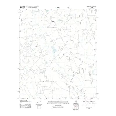
2010 Map of Bear Creek
USGS Topo · Published 2010About this map
Winters Bayou and the East Fork San Jacinto River dominate this landscape in San Jacinto County, where a dense network of creek branches and drainages defines the local geography. Small settlements like Magnolia, Oak Grove, and Bear Creek are linked by rural routes such as FM 945 and Lilley Gilbert Rd. The map reveals a mix of recreational and industrial land use, featuring the Mercy Oil Field alongside water management structures like Howard Lake Dam and Williams Lake Dam. Local history is anchored by sites like Purkerson Cemetery and the Shell Hunter Camp, providing clear evidence of the community's domestic and economic footprint. The intricate drainage patterns of Jayhawker Creek, Gum Branch, and Peach Creek showcase the hydrology of the Texas Piney Woods before more intensive modern development.
Find a feature on this map
44 named features on this map. Tap any name to fly to it.
Don’t see what you’re looking for? This feature index may not catch every label — zoom into the map to look around manually.
Map Details
Editions of this 2010 Bear Creek Map
This is the sole edition of this map. No revisions or reprints were ever made.
Other maps of this area

1954 · Beaumont
USGS Topo · 1:250,000

1957 · Beaumont
USGS Topo · 1:250,000

1958 · Fostoria
USGS Topo · 1:24,000

1958 · Cleveland
USGS Topo · 1:24,000

1958 · Westcott
USGS Topo · 1:24,000

1958 · Bear Creek
USGS Topo · 1:24,000

1959 · Cut and Shoot
USGS Topo · 1:24,000

1959 · Conroe NE
USGS Topo · 1:24,000

1960 · Maynard
USGS Topo · 1:24,000

1960 · Camilla
USGS Topo · 1:24,000