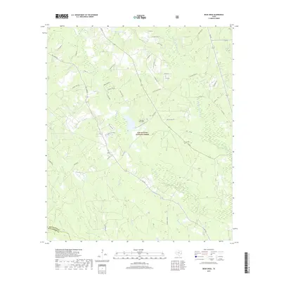
2019 Map of Bear Creek
USGS Topo · Published 2019About this map
The Sam Houston National Forest dominates this section of East Texas, where the landscape is defined by a dense network of waterways feeding into the E Fork San Jacinto River. The terrain is marked by numerous bayous and creeks, such as Winters Bayou and Bear Cr, which flow through the timbered lowlands. Evidence of the region's logging history persists in the path of the Fostoria Tram Rd, a reminder of the industrial rail lines that once moved timber through these woods. Small-scale aviation and local genealogy are represented by the Lake Bay Gall Airport and the Purkerson Cem, located near the intersection of FM 945. This study of the San Jacinto and Montgomery county line area captures a rural landscape where modern roads like FM 1725 follow older patterns of settlement and drainage.
Find a feature on this map
55 named features on this map. Tap any name to fly to it.
Don’t see what you’re looking for? This feature index may not catch every label — zoom into the map to look around manually.
Map Details
Editions of this 2019 Bear Creek Map
This is the sole edition of this map. No revisions or reprints were ever made.
Other maps of this area

1954 · Beaumont
USGS Topo · 1:250,000

1957 · Beaumont
USGS Topo · 1:250,000

1958 · Fostoria
USGS Topo · 1:24,000

1958 · Cleveland
USGS Topo · 1:24,000

1958 · Westcott
USGS Topo · 1:24,000

1958 · Bear Creek
USGS Topo · 1:24,000

1959 · Cut and Shoot
USGS Topo · 1:24,000

1959 · Conroe NE
USGS Topo · 1:24,000

1960 · Maynard
USGS Topo · 1:24,000

1960 · Camilla
USGS Topo · 1:24,000