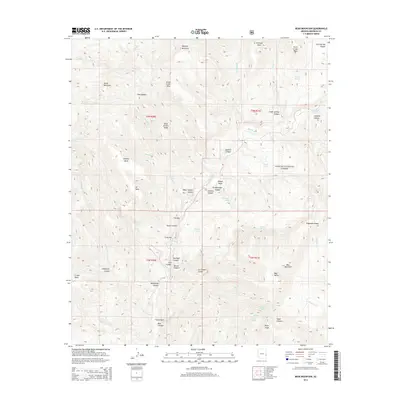
2014 Map of Bear Mountain
USGS Topo · Published 2014About this map
The Blue River winds through a complex system of mesas and canyons within the Apache National Forest, defining the hydrological heart of this Greenlee County landscape. The terrain is marked by distinctive geological formations such as Turtle Rock, Muhly Mountain, and the curiously named Ice Cream Cone. Significant elevation changes are visible from the high points of Bear Mountain down to the dramatic narrows of The Box on the river's course. Numerous canyons, including Moonshine Canyon, Sawmill Canyon, and Grapevine Canyon, branch off the main drainage, while high mesas like Steeple Mesa and Crooks Mesa dominate the skyline. Remote water sources are scattered throughout the region, including Thomas Lake, White Oak Spring, and Sweetie Spring, illustrating the critical nature of water management and natural springs in this high-desert environment. This 2014 survey captures the area's intricate network of washes and ridges, such as Telephone Ridge and Dead Juniper Ridge, which speak to the historic communication and naming conventions of this isolated territory.
Find a feature on this map
64 named features on this map. Tap any name to fly to it.
Don’t see what you’re looking for? This feature index may not catch every label — zoom into the map to look around manually.
Map Details
Editions of this 2014 Bear Mountain Map
This is the sole edition of this map. No revisions or reprints were ever made.
Other maps of this area

1913 · Morenci
USGS Topo · 1:125,000

1915 · Morenci
USGS Topo · 1:125,000

1922 · Nutrioso
USGS Topo · 1:125,000

1954 · Clifton
USGS Topo · 1:250,000

1957 · Clifton
USGS Topo · 1:250,000

1958 · Clifton
USGS Topo · 1:250,000

1958 · Hannagan Meadow
USGS Topo · 1:62,500

1961 · Blue
USGS Topo · 1:62,500

1962 · Clifton
USGS Topo · 1:250,000
1967 · Alma Mesa
USGS Topo · 1:24,000