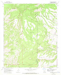
1967 Map of Alma Mesa
USGS Topo · Published 1970About this map
Charlie Moore Place sits at the heart of this high-country survey, representing a pocket of settlement within the expansive timberlands of the Apache National Forest and Gila National Forest. The landscape is defined by a series of prominent flat-topped features, most notably Alma Mesa and Charlie Moore Mesa, which rise between the drainages of Little Blue Creek and Beaver Creek.
Find a feature on this map
31 named features on this map. Tap any name to fly to it.
Don’t see what you’re looking for? This feature index may not catch every label — zoom into the map to look around manually.
Map Details
Editions of this 1967 Alma Mesa Map
2 editions found
Other maps of this area

1910 · Mogollon
USGS Topo · 1:125,000

1912 · Mogollon
USGS Topo · 1:125,000

1913 · Morenci
USGS Topo · 1:125,000

1915 · Morenci
USGS Topo · 1:125,000

1915 · Reserve
USGS Topo · 1:125,000

1918 · Reserve
USGS Topo · 1:125,000

1922 · Nutrioso
USGS Topo · 1:125,000

1954 · Clifton
USGS Topo · 1:250,000

1957 · Clifton
USGS Topo · 1:250,000

1958 · Clifton
USGS Topo · 1:250,000