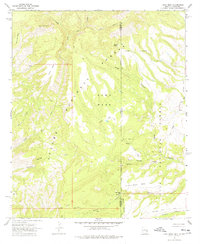
1967 Map of Alma Mesa
USGS Topo · Published 1978About this map
The rugged boundary between the Apache National Forest and the Gila National Forest defines this high-desert landscape in the late 1960s. Spanning the state line between Arizona and New Mexico, the terrain is shaped by deep drainage systems like Little Blue Creek and Ash Creek, and marked by prominent landforms including Alma Mesa and Horse Mountain.
Find a feature on this map
31 named features on this map. Tap any name to fly to it.
Don’t see what you’re looking for? This feature index may not catch every label — zoom into the map to look around manually.
Map Details
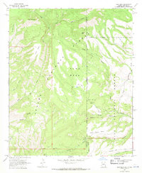
Editions of this 1967 Alma Mesa Map
2 editions found
Other maps of this area

1910 · Mogollon
USGS Topo · 1:125,000

1912 · Mogollon
USGS Topo · 1:125,000

1913 · Morenci
USGS Topo · 1:125,000

1915 · Morenci
USGS Topo · 1:125,000

1915 · Reserve
USGS Topo · 1:125,000

1918 · Reserve
USGS Topo · 1:125,000

1922 · Nutrioso
USGS Topo · 1:125,000

1954 · Clifton
USGS Topo · 1:250,000

1957 · Clifton
USGS Topo · 1:250,000

1958 · Clifton
USGS Topo · 1:250,000