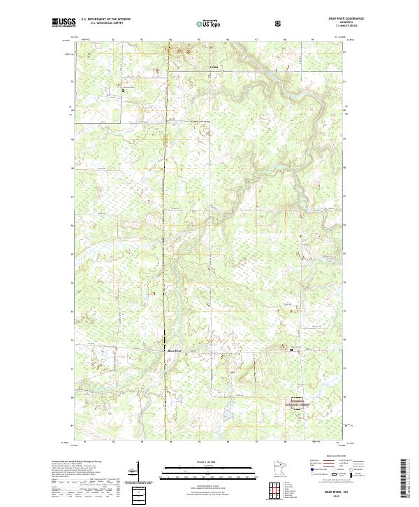
2022 Map of Bear River
USGS Topo · Published 2022About this map
Bear River and Celina sit at the intersection of a complex hydrological and political landscape in Northern Minnesota. The boundary between Itasca Co St Louis Co bisects the area, marked by the St Louis Itasca Judicial Rd. The terrain is defined by the winding course of the Sturgeon River in the north and the confluence of Stony Brook, Bear River Creek, and Bear River Cr further south.
Find a feature on this map
38 named features on this map. Tap any name to fly to it.
Don’t see what you’re looking for? This feature index may not catch every label — zoom into the map to look around manually.
Map Details
Editions of this 2022 Bear River Map
This is the sole edition of this map. No revisions or reprints were ever made.
Other maps of this area

1954 · Hibbing
USGS Topo · 1:250,000

1955 · Dewey Lake NW
USGS Topo · 1:24,000

1957 · Hibbing
USGS Topo · 1:250,000

1958 · Hibbing
USGS Topo · 1:250,000

1964 · Hibbing
USGS Topo · 1:250,000

1964 · Side Lake
USGS Topo · 1:24,000

1964 · Gheen NW
USGS Topo · 1:24,000
1964 · Meadow Brook
USGS Topo · 1:24,000

1964 · Sherry Lake
USGS Topo · 1:24,000

1970 · Rauch
USGS Topo · 1:24,000