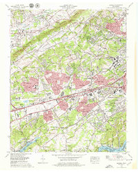
1978 Map of Bearden
USGS Topo · Published 1979About this map
Beaver Ridge and Blackoak Ridge dictate the geography of West Knoxville in the late 1970s, a period of rapid suburban expansion along the Kingston Pike corridor. This era captures the transition of formerly rural communities like Karns and Byington into residential hubs, evidenced by the development of West Town Mall and numerous subdivisions like West Hills and Suburban Hills. Genealogists will find a wealth of burial grounds preserved amidst the growth, including the Beeler, Jones, and the uniquely named Happy Home Cem. The map illustrates the region's transport evolution, showing the Interstate 40 and Pellissippi Parkway intersecting the historic Southern Railway lines. Institutional landmarks such as Bearden High School and Park West Hospital provide clear reference points for the area's mid-century infrastructure, while the southern edge follows the bends of the Tennessee River at Fort Loudoun Lake.
Find a feature on this map
143 named features on this map. Tap any name to fly to it.
Don’t see what you’re looking for? This feature index may not catch every label — zoom into the map to look around manually.
Map Details
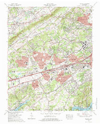
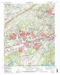
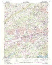
Editions of this 1978 Bearden Map
4 editions found
Other maps of this area

1886 · Knoxville
USGS Topo · 1:125,000

1892 · Knoxville
USGS Topo · 1:125,000

1893 · Briceville
USGS Topo · 1:125,000

1894 · Knoxville
USGS Topo · 1:125,000

1895 · Loudon
USGS Topo · 1:125,000

1895 · Briceville
USGS Topo · 1:125,000

1895 · Knoxville
USGS Topo · 1:125,000

1896 · Briceville
USGS Topo · 1:125,000

1897 · Maynardville
USGS Topo · 1:125,000

1900 · Maynardville
USGS Topo · 1:125,000