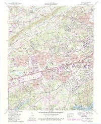
1978 Map of Bearden
USGS Topo · Published 1990About this map
Beaver Ridge, Blackoak Ridge, and Nubbin Ridge partition the landscape west of Knoxville, Tennessee, creating a series of parallel valleys where residential development meets established rural infrastructure. In Hines Valley and Beaver Valley, family-named landmarks like the Reed Cem and Cox View Cem sit alongside evolving neighborhoods such as Oak Grove Heights and Imperial Estates. The map captures the suburban transformation of the late 1970s, as regional commerce centers like the West Town Mall and recreational sites including the Deane Hill Golf and Country Club emerge near the bustling corridors of Kingston Pike and Interstate 40 and 75. Southward, the terrain meets the water at Fort Loudoun Lake, where the Knoxville Boat Club Dock and Concord Park mark the interface between the expanding city and the Tennessee River.
Find a feature on this map
132 named features on this map. Tap any name to fly to it.
Don’t see what you’re looking for? This feature index may not catch every label — zoom into the map to look around manually.
Map Details
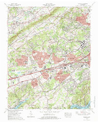
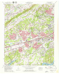
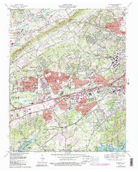
Editions of this 1978 Bearden Map
4 editions found
Other maps of this area

1886 · Knoxville
USGS Topo · 1:125,000

1892 · Knoxville
USGS Topo · 1:125,000

1893 · Briceville
USGS Topo · 1:125,000

1894 · Knoxville
USGS Topo · 1:125,000

1895 · Loudon
USGS Topo · 1:125,000

1895 · Briceville
USGS Topo · 1:125,000

1895 · Knoxville
USGS Topo · 1:125,000

1896 · Briceville
USGS Topo · 1:125,000

1897 · Maynardville
USGS Topo · 1:125,000

1900 · Maynardville
USGS Topo · 1:125,000