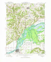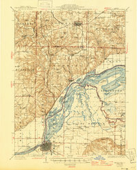
1926 Map of Beardstown
USGS Topo · Published 1946About this map
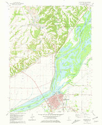
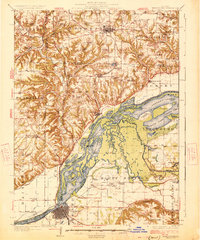
Beardstown stands as a pivotal river terminal and rail hub in this mid-1940s revision of earlier 1920s topography, illustrating the dense network of waterways and embankments along the Illinois River. The landscape is defined by an intricate system of backwater lakes, sloughs, and swales, including Muscooten Bay and Treadway Lake, which shaped the development of riverside settlements like Browning and Frederick. The industrial presence of the Chicago Burlington and Quincy RR is prominent, cutting through the bluffs and river bottoms to connect rural outposts.
Find a feature on this map
105 named features on this map. Tap any name to fly to it.
Don’t see what you’re looking for? This feature index may not catch every label — zoom into the map to look around manually.
Map Details
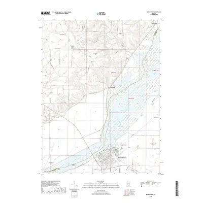
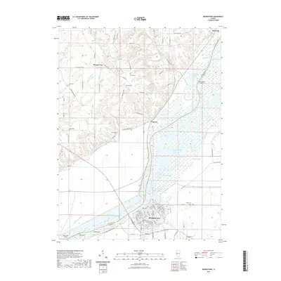
Editions of this 1926 Beardstown Map
2 editions found
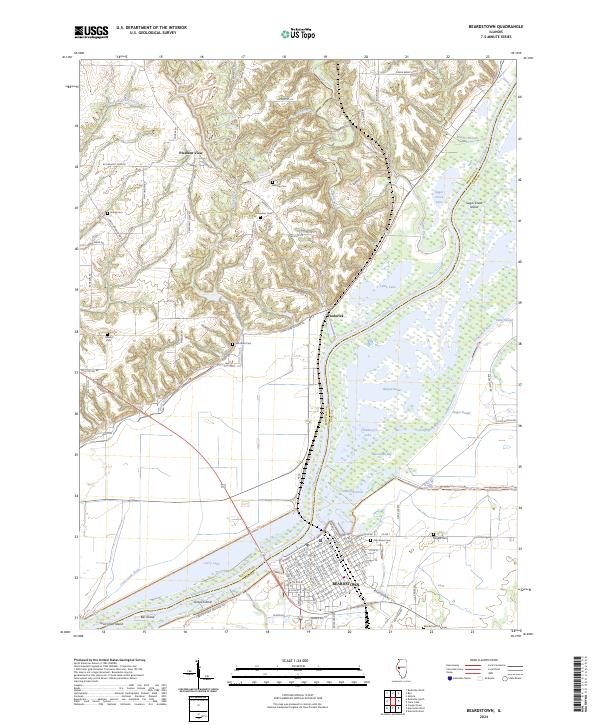
Historical Maps of Beardstown Through Time
8 maps found