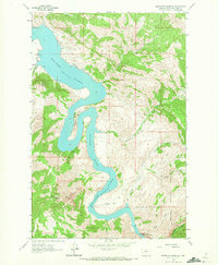
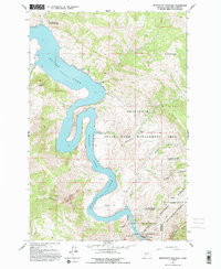
1962 Map of Beartooth Mountain
USGS Topo · Published 1972About this map
The Missouri River carves a dramatic path through this 1962 topographic landscape, dominated by the waters of Holter Lake at a spillway elevation of 3578 feet. The map highlights the rugged interaction between water and terrain at the Gates of the Rocky Mountains, where the river winds through steep canyons and the sharp Oxbow Bend. Settlement is sparse, limited to remote sites such as Beartooth Ranch, Sperry Ranch, and the Indian Trail Lodge, reflecting the area's isolation within the Helena National Forest.
Find a feature on this map
23 named features on this map. Tap any name to fly to it.
Don’t see what you’re looking for? This feature index may not catch every label — zoom into the map to look around manually.
Map Details
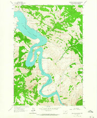
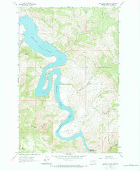
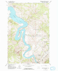
Editions of this 1962 Beartooth Mountain Map
5 editions found
Other maps of this area

1886 · Great Falls
USGS Topo · 1:250,000

1886 · Fort Logan
USGS Topo · 1:250,000

1889 · Helena
USGS Topo · 1:250,000

1893 · Helena
USGS Topo · 1:250,000

1899 · Helena
USGS Topo · 1:250,000

1903 · Helena
USGS Topo · 1:250,000

1943 · Hogan
USGS Topo · 1:125,000

1947 · Butte
USGS Topo · 1:250,000

1948 · White Sulphur Springs
USGS Topo · 1:250,000

1954 · Great Falls
USGS Topo · 1:250,000