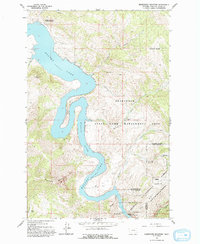
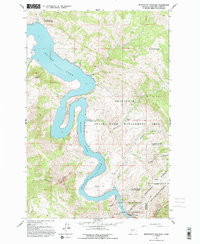
1962 Map of Beartooth Mountain
USGS Topo · Published 1993About this map
Holter Lake dominates the center of this 1962 landscape, where the Missouri River winds through the limestone canyons of the Helena National Forest. The map documents a transition from the water's edge at Spillway Elev 3578 to the high elevations of Jackson Peak and Beartooth Mountain. Settlement is sparse, limited to recreation-oriented sites like the Indian Trail Lodge and working lands such as Beartooth Ranch and Sperry Ranch.
Find a feature on this map
32 named features on this map. Tap any name to fly to it.
Don’t see what you’re looking for? This feature index may not catch every label — zoom into the map to look around manually.
Map Details
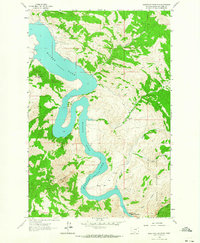
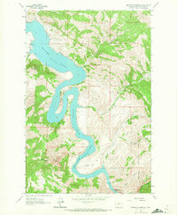
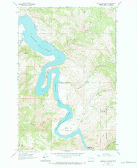
Editions of this 1962 Beartooth Mountain Map
5 editions found
Other maps of this area

1886 · Great Falls
USGS Topo · 1:250,000

1886 · Fort Logan
USGS Topo · 1:250,000

1889 · Helena
USGS Topo · 1:250,000

1893 · Helena
USGS Topo · 1:250,000

1899 · Helena
USGS Topo · 1:250,000

1903 · Helena
USGS Topo · 1:250,000

1943 · Hogan
USGS Topo · 1:125,000

1947 · Butte
USGS Topo · 1:250,000

1948 · White Sulphur Springs
USGS Topo · 1:250,000

1954 · Great Falls
USGS Topo · 1:250,000