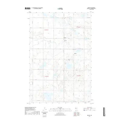
2019 Map of Beaulieu
USGS Topo · Published 2019About this map
The Wild Rice River meanders across this Mahnomen County landscape, carving a serpentine path through a region defined by its numerous glacial lakes and wetlands. The small settlements of Beaulieu and Midway serve as the primary human hubs in an area otherwise dominated by water bodies like Chief Lake, Sandy Lake, and the uniquely named Church Lake. The presence of Saint Joseph's Catholic Cem and Saint Joseph's Cem near the town sites provides significant points of interest for genealogists and local historians tracing the heritage of this rural northern community.
Find a feature on this map
36 named features on this map. Tap any name to fly to it.
Don’t see what you’re looking for? This feature index may not catch every label — zoom into the map to look around manually.
Map Details
Editions of this 2019 Beaulieu Map
This is the sole edition of this map. No revisions or reprints were ever made.
Other maps of this area

1954 · Bemidji
USGS Topo · 1:250,000

1957 · Bemidji
USGS Topo · 1:250,000

1958 · Bemidji
USGS Topo · 1:250,000

1969 · North Twin Lake
USGS Topo · 1:24,000
1969 · Waubun
USGS Topo · 1:24,000
1969 · Ogema NE
USGS Topo · 1:24,000

1969 · Snider Lake
USGS Topo · 1:24,000
1969 · Ebro NW
USGS Topo · 1:24,000
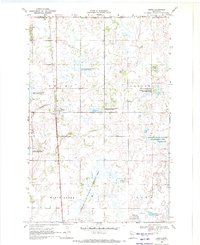
1969 · Bejou
USGS Topo · 1:24,000
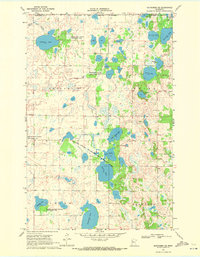
1969 · Mahnomen NE
USGS Topo · 1:24,000