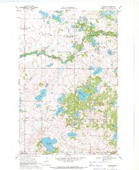
1969 Map of Beaulieu
USGS Topo · Published 1972About this map
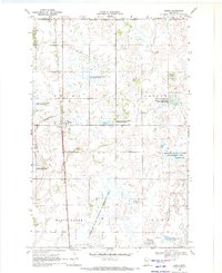
Beaulieu sits at the center of this 1960s landscape, a region defined by an intricate network of wetlands and glacial lakes within the White Earth Indian Reservation. The settlement pattern is sparse, concentrated near a local Townhall and the St Josephs Ch, while the surrounding townships of Chief, Beaulieu, Rosedale, and La Garde are dominated by conservation efforts. Large swaths of territory are dedicated to the National Wildlife Management Area and the Beaulieu State Management Area, preserving the habitat around the winding Rice River.
Find a feature on this map
25 named features on this map. Tap any name to fly to it.
Don’t see what you’re looking for? This feature index may not catch every label — zoom into the map to look around manually.
Map Details
Editions of this 1969 Beaulieu Map
This is the sole edition of this map. No revisions or reprints were ever made.
Other maps of this area

1954 · Bemidji
USGS Topo · 1:250,000

1957 · Bemidji
USGS Topo · 1:250,000

1958 · Bemidji
USGS Topo · 1:250,000

1969 · North Twin Lake
USGS Topo · 1:24,000
1969 · Waubun
USGS Topo · 1:24,000
1969 · Ogema NE
USGS Topo · 1:24,000

1969 · Snider Lake
USGS Topo · 1:24,000
1969 · Ebro NW
USGS Topo · 1:24,000
1969 · Bejou
USGS Topo · 1:24,000
1969 · Mahnomen NE
USGS Topo · 1:24,000