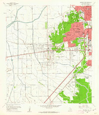
1960 Map of Beaumont West
USGS Topo · Published 1962About this map
The Beaumont city boundary defines the eastern reach of this coastal Texas landscape, where suburban growth meets active petroleum production. The western edge of the city is anchored by the Amelia settlement and the Beaumont Municipal Airport, showing a transition from dense residential blocks in neighborhoods like Calder Highlands and Calder Terrace to the industrial operations of the Amelia Field and South China Oil Field Gully.
Find a feature on this map
65 named features on this map. Tap any name to fly to it.
Don’t see what you’re looking for? This feature index may not catch every label — zoom into the map to look around manually.
Map Details
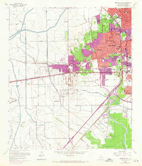
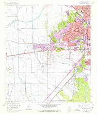
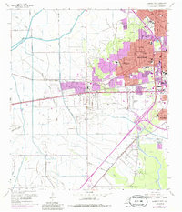
Editions of this 1960 Beaumont West Map
4 editions found
Other maps of this area

1926 · Lakeview
USGS Topo · 1:24,000

1926 · Vidor
USGS Topo · 1:24,000

1932 · Beaumont
USGS Topo · 1:62,500

1943 · Fannett East
USGS Topo · 1:24,000

1943 · Beaumont East
USGS Topo · 1:24,000

1945 · Fannett East
USGS Topo · 1:31,680

1950 · Houston
USGS Topo · 1:250,000

1954 · Beaumont
USGS Topo · 1:250,000

1955 · Sour Lake
USGS Topo · 1:62,500

1956 · Houston
USGS Topo · 1:250,000