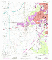
1960 Map of Beaumont West
USGS Topo · Published 1985About this map
Amelia Oil Field and the South China Oil Field dominate the western landscape of this mid-century Texas survey, illustrating the deep integration of the petroleum industry into the regional geography. While the core of Beaumont expands westward with residential developments like Calder Highlands and Caldwood, the surrounding terrain remains defined by a complex network of drainage and transport. The Lower Neches Valley Authority Canal and the Fresh Water Canal cut through the countryside, supporting both industrial needs and agricultural drainage into Hillebrandt Bayou.
Find a feature on this map
67 named features on this map. Tap any name to fly to it.
Don’t see what you’re looking for? This feature index may not catch every label — zoom into the map to look around manually.
Map Details
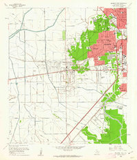
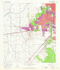
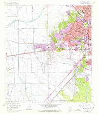
Editions of this 1960 Beaumont West Map
4 editions found
Other maps of this area

1926 · Lakeview
USGS Topo · 1:24,000

1926 · Vidor
USGS Topo · 1:24,000

1932 · Beaumont
USGS Topo · 1:62,500

1943 · Fannett East
USGS Topo · 1:24,000

1943 · Beaumont East
USGS Topo · 1:24,000

1945 · Fannett East
USGS Topo · 1:31,680

1950 · Houston
USGS Topo · 1:250,000

1954 · Beaumont
USGS Topo · 1:250,000

1955 · Sour Lake
USGS Topo · 1:62,500

1956 · Houston
USGS Topo · 1:250,000